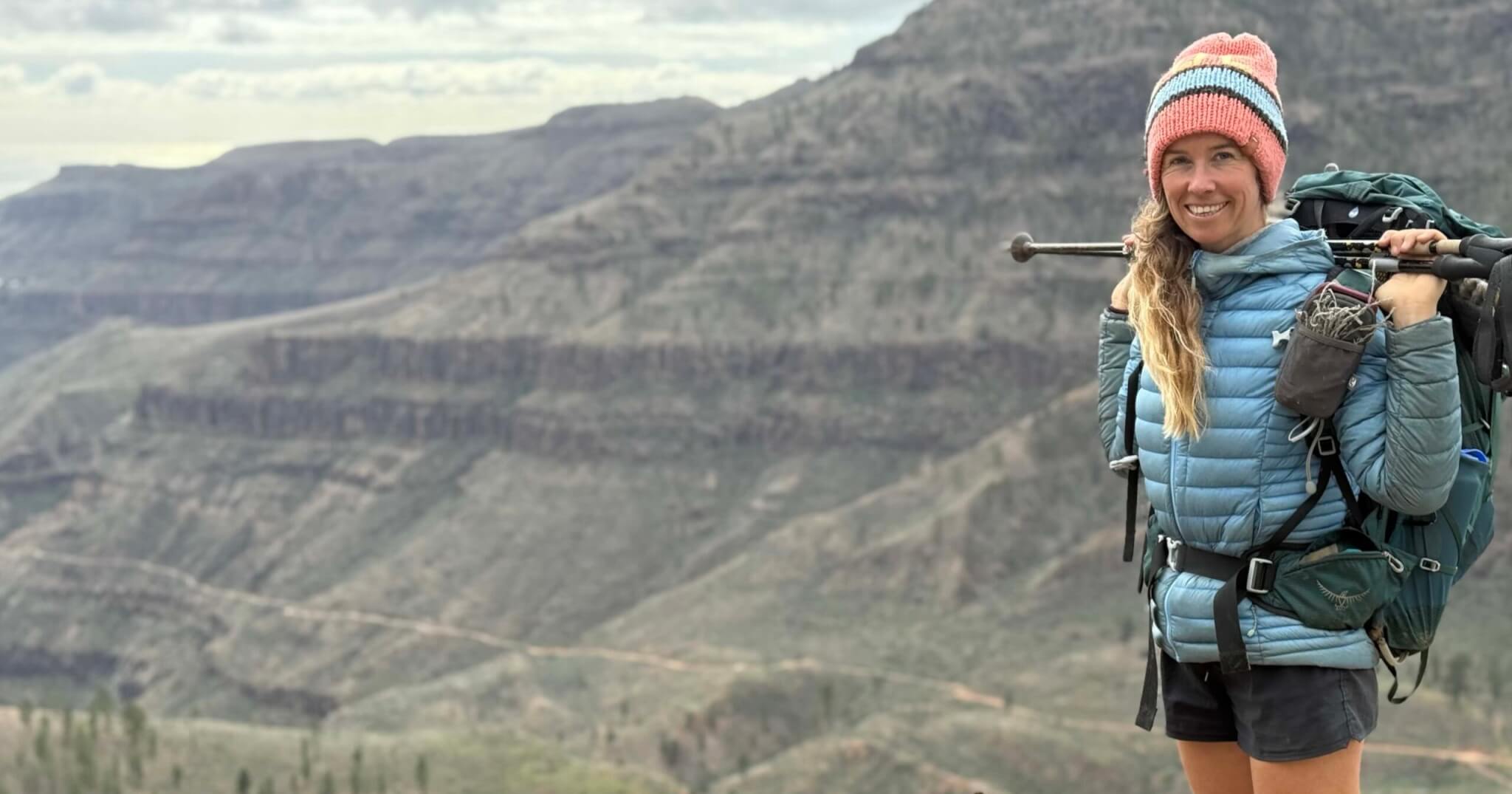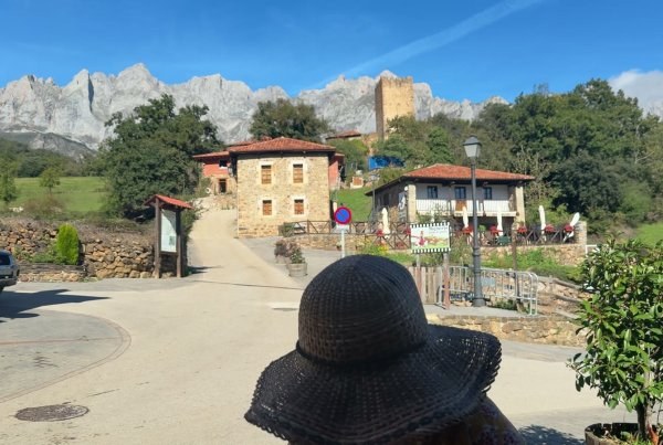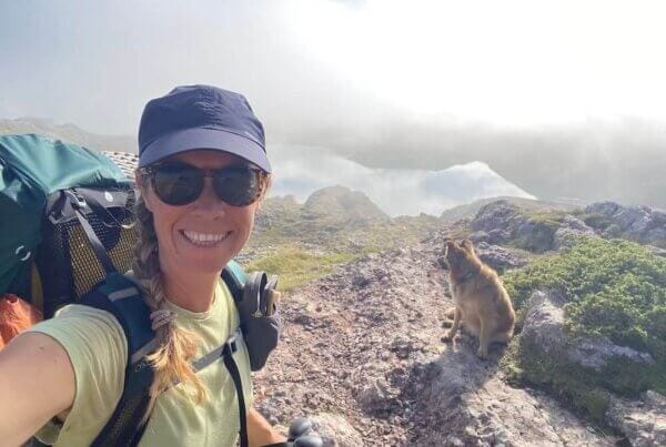

In September 2022, Jonatan, Wingo and I hiked the GR-202, the Ruta de la Reconquista. It crosses the Picos de Europa from Covadonga to Cosgaya. It made such an impression that I'm back now, to explore a little bit deeper.
We left the vans at 19:30. Rain was forecast. Shall we go or not? Let's go. We heard the church bells in Covadonga and passed the cave. Then we hiked about one and a half hours, steep. It was getting dark, and nothing was flat. And there it was: the green paradise hikers dream of. Cow bells, the sound of a waterfall, a cup of rooibos tea. Is this the calm before the storm?
It was. That night was long and busy, with horses, cows and rain. The next morning it rained for three hours, spongy and slippery. Lots of berries for breakfast, though.
We took it very easy. We hiked across in five days, together with our dog Wingo.
Updated October 2026.
Snapshot of the GR-202
| GR-202 | |
|---|---|
| Start and finish | Covadonga (Asturias) to Cosgaya (Cantabria), across the western and central Picos. |
| Distance | About 60 km. The park gives 58.6 km. The Asturian mountain federation measures 65.4 km in four stages. |
| Climbing | About 3,900 m up and 3,400 m down in total. |
| Days | Five days is a comfortable pace. We took it very easy and hiked across in five days. |
| Difficulty | The park rates it hard. The way down the Canal de Culiembro is very steep, with hand and footwork. |
| Waymarks | The red and white GR stripes. Not always easy to spot the signs, so we took a few detours. |
| Best time | Mid-September to mid-October. Don't go in fog or snow. Snow can last on the high parts into early summer. |
| Dogs | Allowed, on a lead. Wingo walked the whole route. |
The park's official page has the route: GR-PNPE 202 Ruta de la Reconquista. AllTrails has it in two sections: Covadonga to Poncebos and Poncebos to Cosgaya.
The four stages of the GR-202
The Asturian mountain federation splits the GR-202 into four stages. We took it very easy and walked it in five days.
| Stage | Distance | Where to sleep |
|---|---|---|
| 1. Covadonga to Vega de Comeya | 9.85 km | Nothing at Comeya. Split at the Vega de Enol refugio by the lakes. |
| 2. Vega de Comeya to Poncebos | 19.55 km | No villages in between. Stays in Poncebos |
| 3. Poncebos to Sotres | 11.12 km | Bulnes on the way, or Sotres |
| 4. Sotres to Cosgaya | 24.88 km | Áliva, Espinama or Cosgaya |
This is the GR-202 on the map, with the four stages and the places where you can sleep. Click a dot to see places to stay there.
Download the GPX track of the GR-202 (all four stages, zipped). Load it on your phone or GPS before you go, because there's no signal in many valleys. The route data comes from OpenStreetMap, © OpenStreetMap contributors.
Finding your way
Fog can come in fast up here and hide every landmark. Follow the red and white marks. If you can't see them anymore, go back to the last one you saw. Carry a paper map as a backup, because phones run out of battery. If you're new to this, Your First Hike covers how to find your way on a multi-day hike.
The route as we walked it
The GR-202 climbs from Covadonga over the high pastures of the western massif, past the lakes, and down to the Ruta del Cares. Then it goes on to Poncebos, Bulnes, Sotres, the Áliva pastures, Espinama and Cosgaya. These are the places where you can sleep along the way.
Covadonga and Cangas de Onís
The GR-202 starts in Covadonga, at the sanctuary and the cave. There are a few places to stay in Covadonga itself (stays in Covadonga). Cangas de Onís, just down the road, has much more choice.
Over the high pastures to the Cares
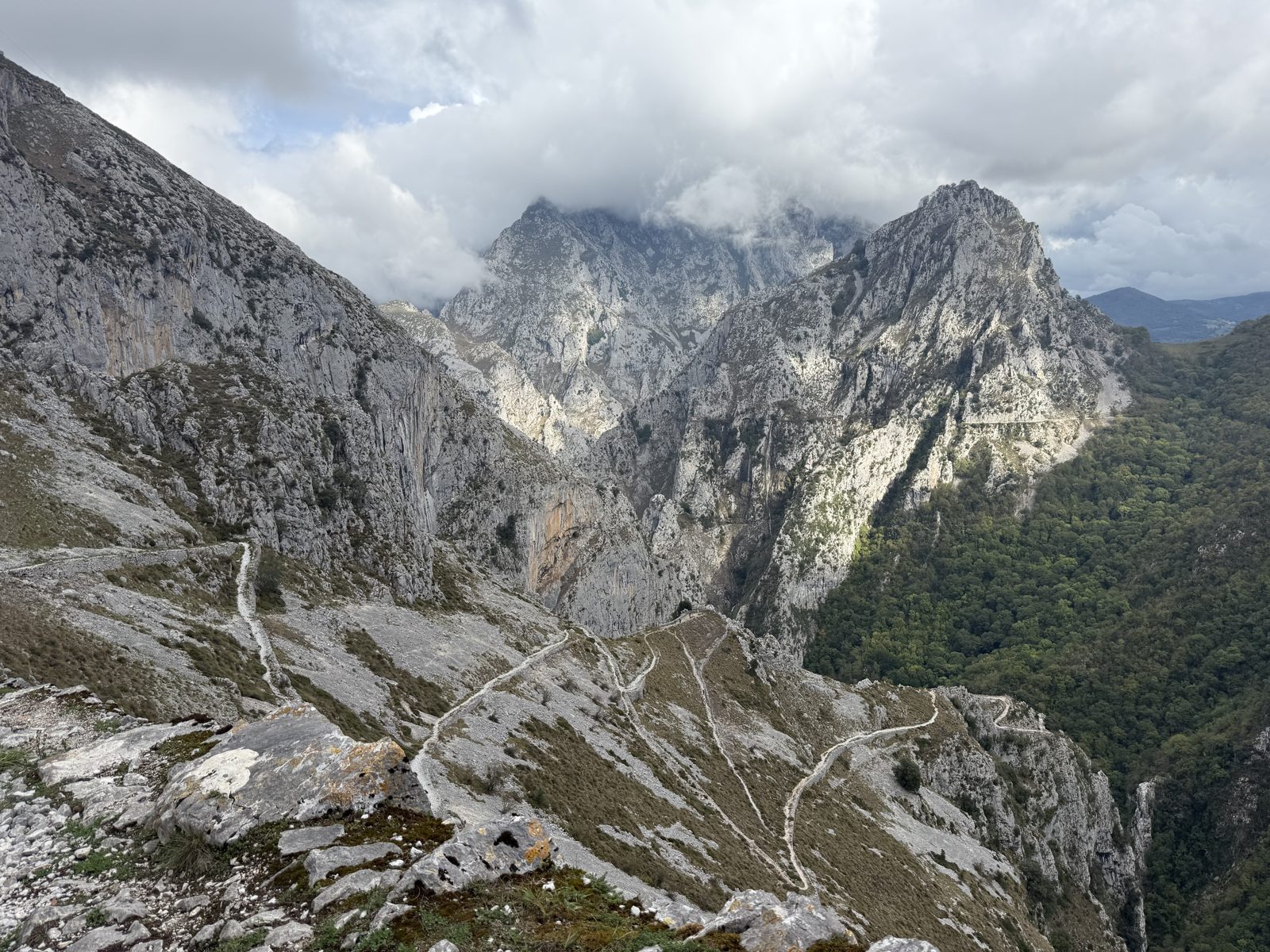
From Covadonga the trail climbs into the western massif, through green high pastures. Many cows and cow poo everywhere. Few other humans. Lots of uphill hiking. It's not always easy to spot the signs, so we took a few detours.
Covadonga to Poncebos is the longest and hardest part. The park gives 26.6 km, with about 1,400 m up and 1,350 m down. That's close to 11 hours of walking. There are no villages in between.
Most people split it at the Covadonga lakes. The Vega de Enol refugio, by Lago Enol, is about 10 km from Covadonga. It has a few beds in shared rooms and a restaurant. Book it directly, and check that it's open. If you want to sleep higher up, the staffed Vega de Ario refugio is a detour from Vega Maor. Or you walk it in one long day.
A tent is no option on this stretch. Bivouacs are only allowed above 1,800 m, and this part of the route stays lower, at about 1,400 m at its highest.
There was a very steep bit as well, with hand and footwork. That's the Canal de Culiembro, the way down to the Ruta del Cares. Take it slow.
Carry plenty of water on this stretch. The fountains can be few and far between, especially at the end of summer. The last part along the Cares has no drinking water. The path runs along a drop without railings, and stones can fall, so stay focused.
Poncebos and Arenas de Cabrales
The trail reaches the Cares gorge at Culiembro and follows it to Poncebos. Poncebos has two or three places to stay, right on the trail. Arenas de Cabrales is just down the road, with more choice. See places to stay in Arenas de Cabrales.
Bulnes
From Poncebos you climb up to Bulnes, a mountain village without a road. You can also take the funicular. In Bulnes you can also stay, and it's a special place to spend a night. See places to stay in Bulnes.
Sotres and the Pandébano pass
In Sotres you can also stay. One day it rained the whole day, so we stayed in Albergue Peña Castil. I remember it very pretty.
Near the Pandébano pass there's also the La Terenosa refugio, below the Naranjo de Bulnes.
Áliva and Espinama
From the Sotres side the trail crosses the high pastures of Áliva. Up there is Hotel Áliva, a mountain hotel at 1,666 m that opens in summer. Check Hotel Áliva. Then you go down to Espinama, a little hamlet just below Fuente Dé.
Cosgaya, the end
The GR-202 ends in Cosgaya, in the Liébana valley. Potes is the nearest town, with lots of places to stay. See places to stay in Potes.
Getting back to the start
Getting back took us a whole day of hitchhiking, in seven different cars. To go from one side of the Picos to the other is not so easy. The easiest is to walk.
If you don't want to hitchhike, plan your transport back before you start. From Cosgaya you can take public transport via Potes, a taxi, or a second car you left at the end.
Where to sleep on the GR-202
You can sleep in the villages along the way: Cangas de Onís, Poncebos, Bulnes, Sotres, Espinama and Cosgaya. There are also refugios near the route, like La Terenosa. Check opening times before you go, because many only open in season. Bivouacs in the park are only allowed above 1,800 m, from one hour before sunset to one hour after sunrise.
You may like reading: Where to stay in the Picos de Europa: best bases for hiking
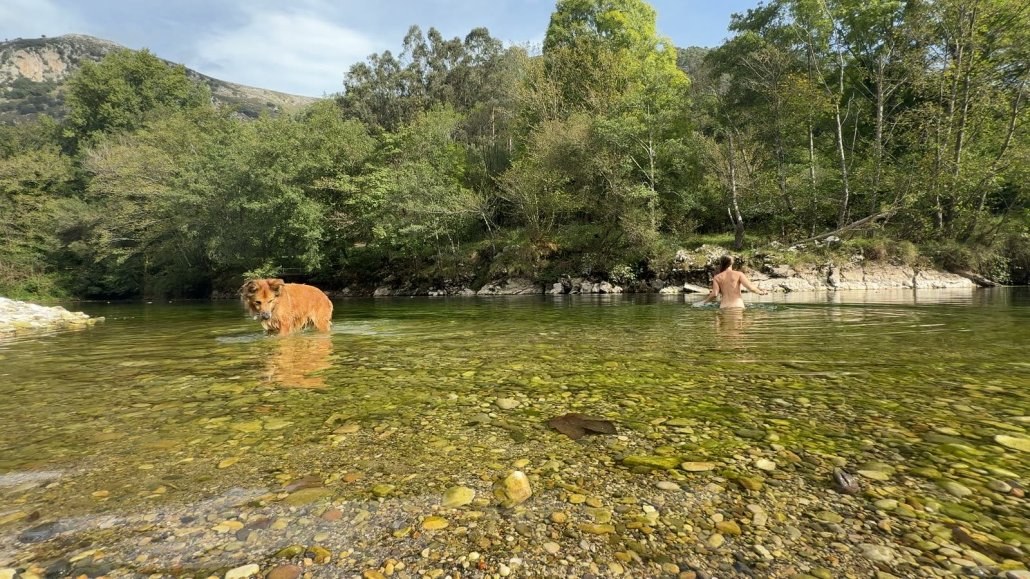
Along the route you can sleep in Bulnes, Sotres, Áliva, Espinama and Cosgaya. From Áliva a track goes down to Espinama, if you need a way out. The Observatorio Picos de Europa has the four official stages and figures.
Hiking the GR-202 with a dog
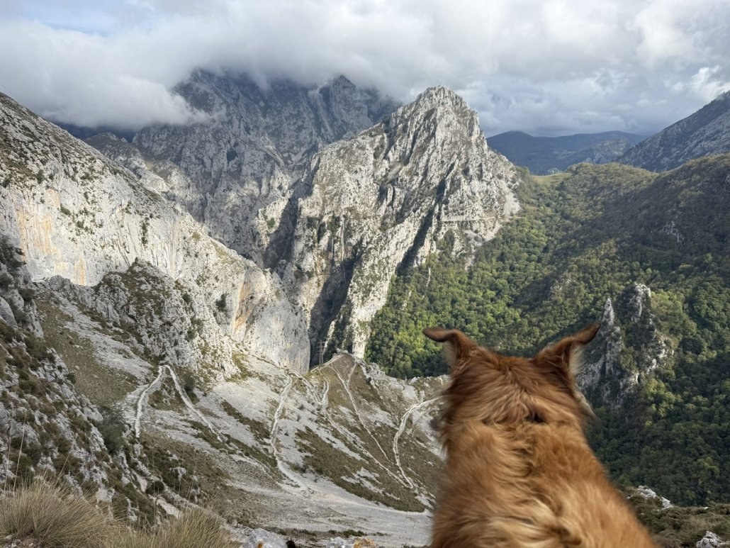
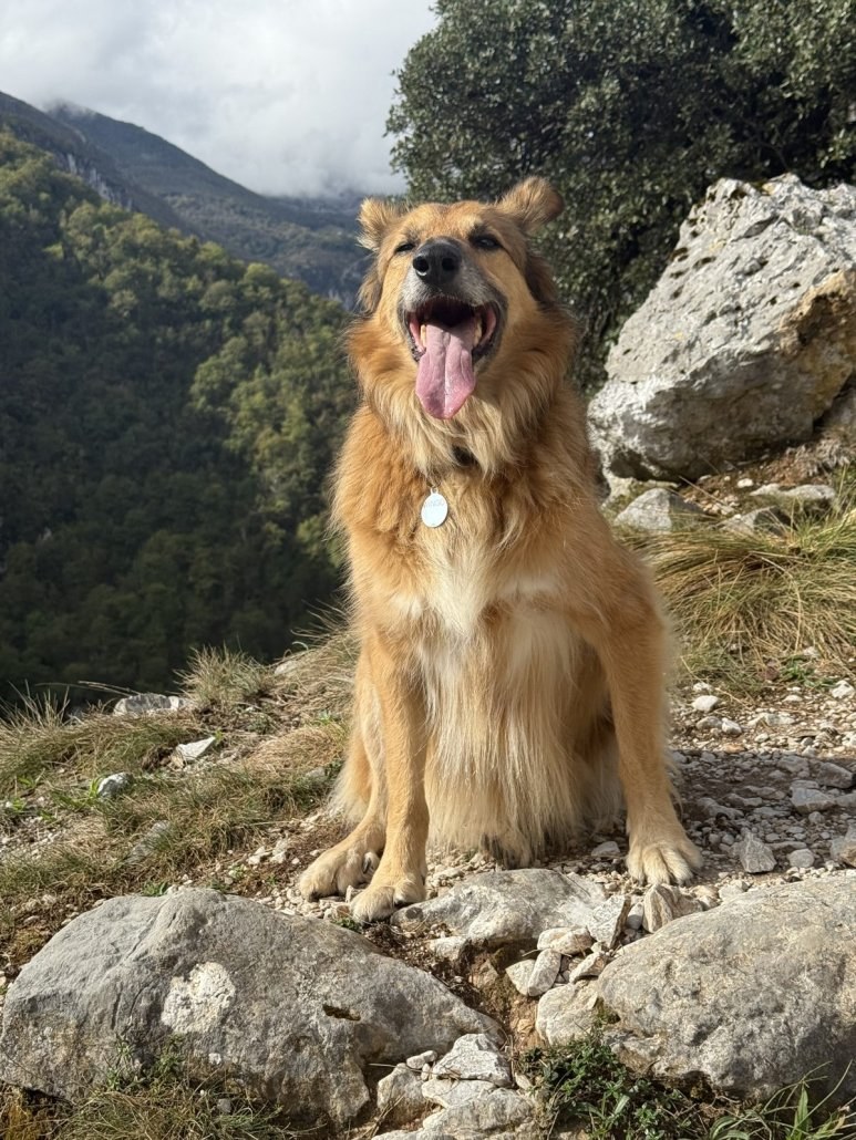
Wingo walked the whole route. Dogs are allowed in the park, on a lead. Be very mindful of the cows, because there are many on the high pastures. Ask ahead if your dog can stay in the albergue or refugio.
What to bring for the GR-202
You need good hiking shoes, and rain gear. We had rain on the first days and a whole day of rain in Sotres. These are a few of my favourites that I hike with.
- Shoes: I hike in Altra trail runners.
- Backpack: my Osprey Eja 48.
- Rain jacket: the Patagonia 3L.
- Water filter: we filled up at the rivers. I carry the Katadyn BeFree.
- Satellite messenger: there's no phone signal in many valleys. I carry the Garmin inReach Mini.
You may like reading: my full 7 kg ultralight gear list.
Is this your first multi-day hike? Your First Hike is the guide I wish I had when I started out. It covers how to pick a trail, pack light, sleep outside and come home tired, not broken.
One email when it is ready, with the launch price. You can unsubscribe at any time.
Useful resources for the GR-202
- The national park's page on the GR-202, with the route and the rules.
- The Asturian mountain federation (FEMPA), which waymarks and looks after the route.
- Observatorio Picos de Europa, with the four stages, the GPX tracks and safety tips. Updated in September 2026.
- Reservarefugios, to book the staffed refugios.
- The park's maps and tracks, free to download.
- In an emergency, call 112. It works with any network and sends your location.
My Northern Spain guide is coming
It covers Green Spain by van: the Picos de Europa, Asturias, Cantabria and Galicia. Leave your email and I'll let you know when it's ready.
FAQ
How long is the GR-202 Ruta de la Reconquista?
About 60 km from Covadonga to Cosgaya. The park gives 58.6 km, the Asturian mountain federation 65.4 km in four stages, with about 3,900 m of climbing. We took it very easy and hiked across in five days.
Is the GR-202 hard?
The park rates it hard. There is a very steep bit with hand and footwork, and the signs are not always easy to spot.
Can you hike the GR-202 with a dog?
Yes. Our dog Wingo walked the whole route. Dogs must be on a lead in the national park. Be mindful of the cows.
How do you get back from Cosgaya to Covadonga?
It is not so easy. We hitchhiked back in one day, in seven different cars. Plan a taxi or a car at the end if you do not want to hitchhike.
Stay wild.
With love, Suzanne
Wild at heart? Let's be friends.
Join me on YouTube for slow travel adventures by van, sail and on foot.
Ocean Nomads is the community I founded, for people who want to live a little wilder, explore a little further, and do it with good people.
For deeper trail stories and the behind-the-scenes, I write on Patreon.
Explore more
Read next
 Why thru-hike? What 850 km across the Pyrenees taught me
 My 7 kg ultralight gear list, for hiking with a dog
 Best hiking apps: the 4 I use
Watch on YouTube

About Suzanne
I'm Suzanne. I've lived on the move between sail, van and trail for many years. I've hiked more than 2,500 km on long-distance trails, including the GR-202 across the Picos de Europa with Jonatan and my dog Wingo, and 850 km across the Pyrenees on the GR11.
Some links are affiliate links. At no extra cost to you, they give me a tiny piece of the pie. That raises the adventure fund and helps me keep exploring and creating. I only recommend things I truly love and use myself. Huge thanks if you buy through this website (but try to find it second-hand or locally first!).