
Updated October 2026.
The GR131 across Tenerife is a 67 km long-distance hiking trail. It's part of the larger GR131 that crosses the Canary Islands. Locally it's signed as the Camino Natural Anaga-Chasna. It runs from La Esperanza in the north to Arona in the south. Straight through Teide National Park.
Table of Contents
- GR131 Tenerife: stages at a glance
- Where to sleep on the GR131 Tenerife: the short version
- What is the GR131 Tenerife?
- Why hike the GR131 Tenerife
- How we hiked the GR131 Tenerife
- Which direction should you hike?
- Navigation on the GR131 Tenerife
- Best time to hike the GR131 Tenerife
- Water and food on trail
- Weather on the GR131 Tenerife
- What to pack for hiking the GR131 Tenerife
- Camping in Tenerife: campgrounds and wild camping on the GR131
- Hiking the GR131 Tenerife without a tent
- GR131 Tenerife section-by-section
- Where to stay across the GR131 Tenerife
- Recommended links and resources
- FAQ: GR131 Tenerife
- Other amazing trails in Tenerife
- Is the GR131 Tenerife worth it?
- Explore more
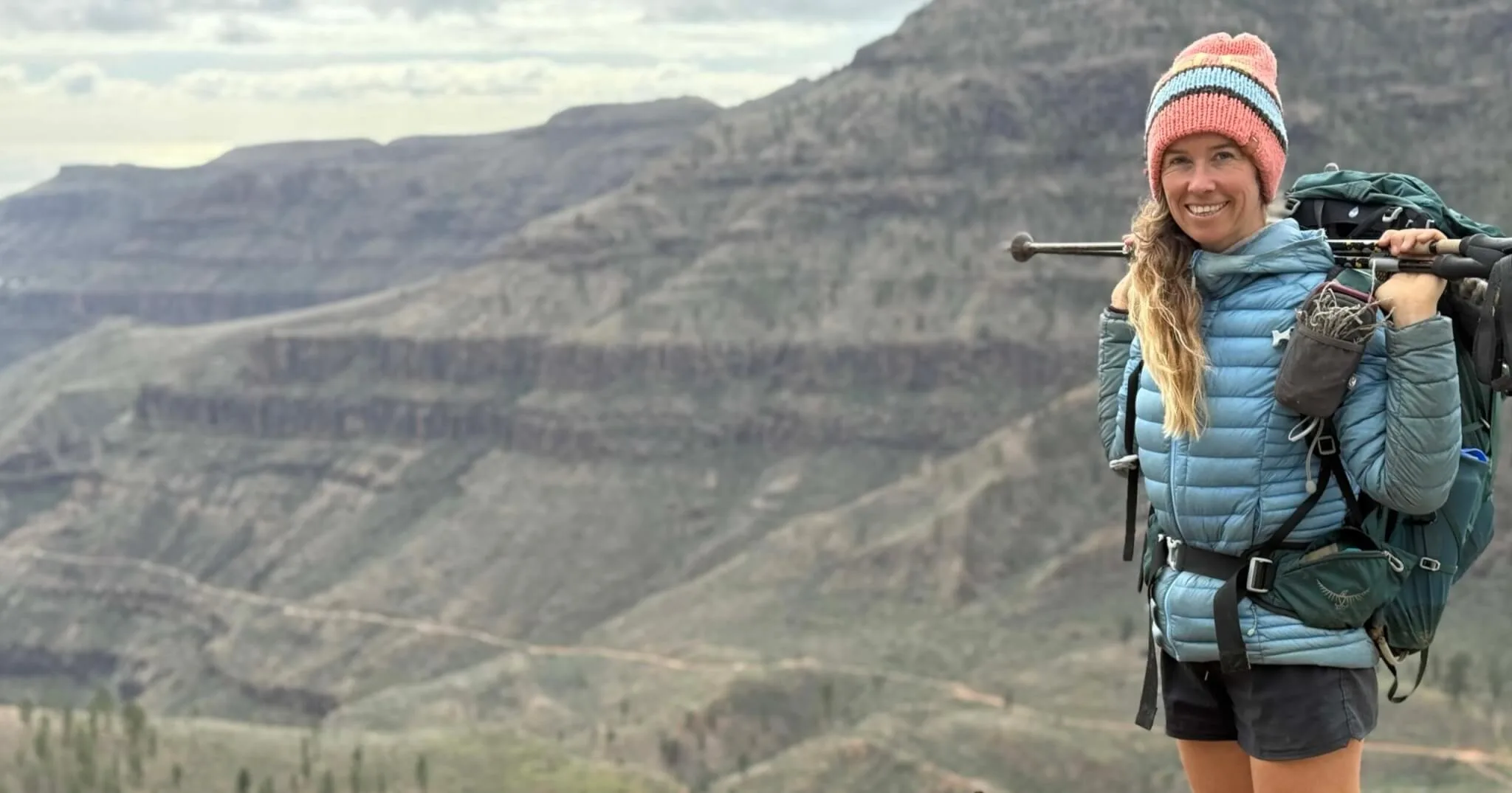
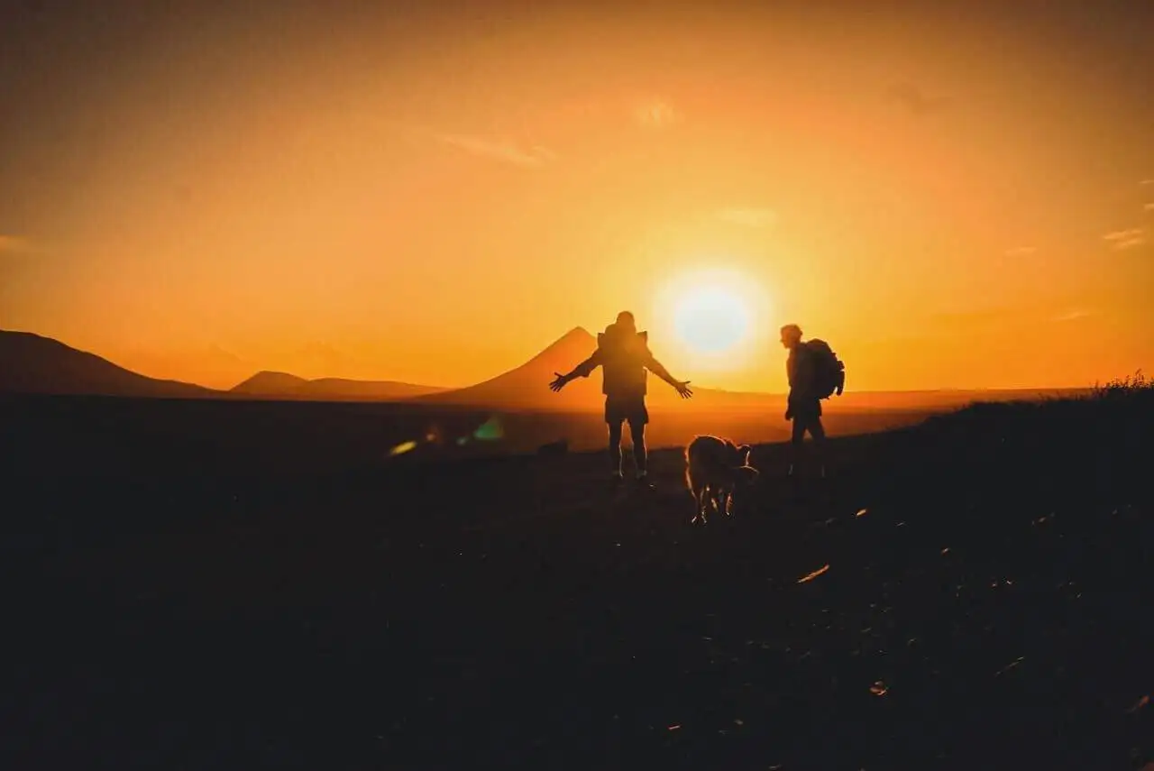
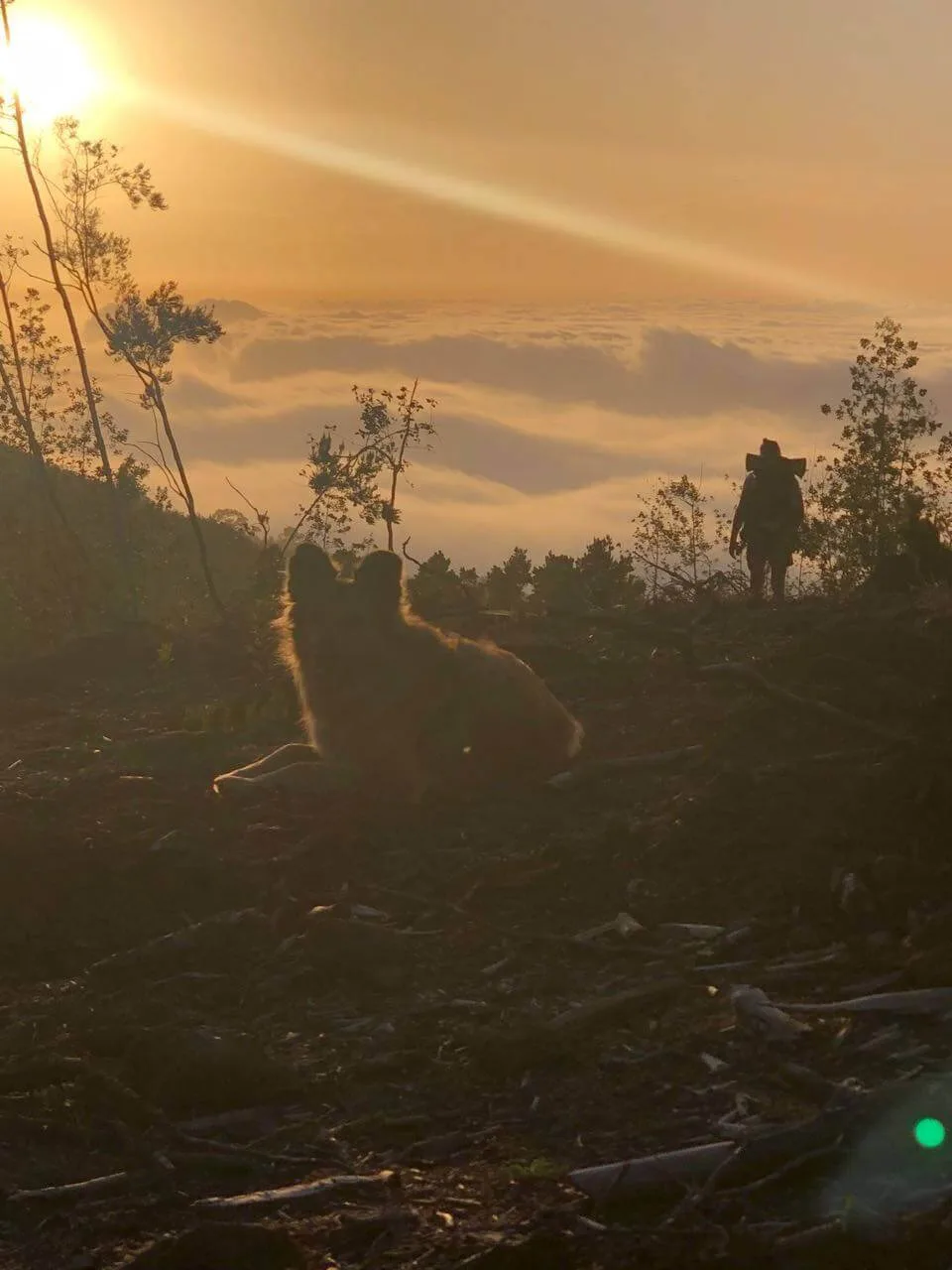
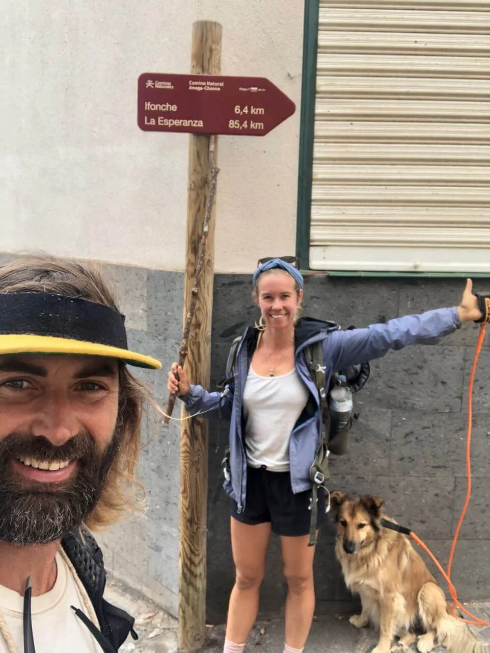
I hiked the GR131 across Tenerife in May 2022. With Jonatan and my dog Wingo. From Esperanza in the north to Arona in the south. Pine forest, volcanic desert, Teide National Park, small mountain towns, and the dry south, all in a few days on foot.
It's a very doable trail. And it was super empowering. Walking across is the very best way to see Tenerife.
This guide is to help you get ready for hiking it yourself. I share more tips and tales on YouTube and Instagram. If you've hiked this trail too, drop a comment with what you learned.
The GR131 Tenerife in a nutshell
- Also known as: Camino Natural Anaga-Chasna
- Distance: around 67 km (Esperanza to Arona)
- Duration: 3 to 5 days
- Start: Esperanza (north)
- Finish: Arona (south)
- Route highlights: Esperanza forest, La Caldera, Teide National Park, Vilaflor, Arona
- Difficulty: Moderate. Exposure in Teide NP, otherwise straightforward.
- Accommodation: village guesthouses, one official campsite (La Caldera, closed for forestry work since January 2025, check Tenerife ON), the Parador hotel inside Teide National Park, or discreet bivouacs outside the park if you carry a tent. No mountain refuges on this trail.
- Navigation: red and white GR markers, GPX recommended
- Best time to hike: March-June and October-November
- Water: limited on-trail, filter and capacity needed
GPX track and map
Open the GR131 Tenerife route on AllTrails for the full map and elevation profile, and search Wikiloc for a GPX track to upload to Mapy or another navigation app for offline use.
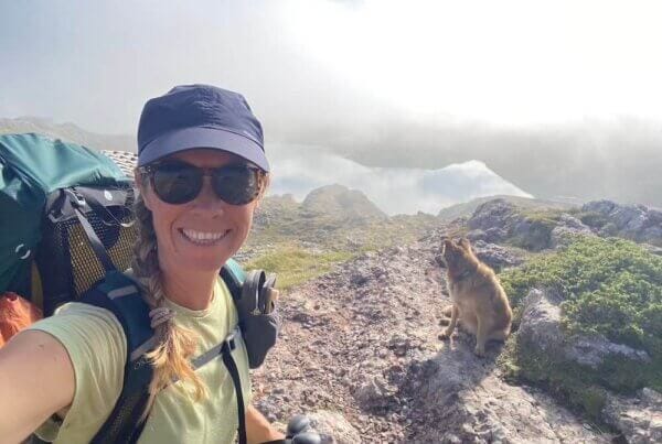
My name is Suzanne. I've hiked 11 long-distance trails, over 2,500 km on foot. Trail life is my favourite way to travel. It's simple, healthy and close to nature.
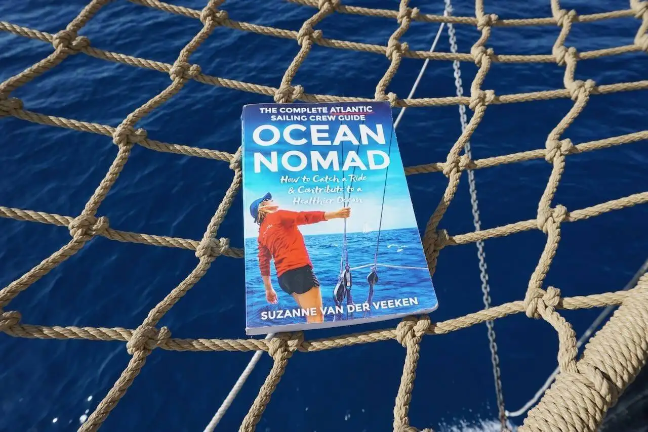
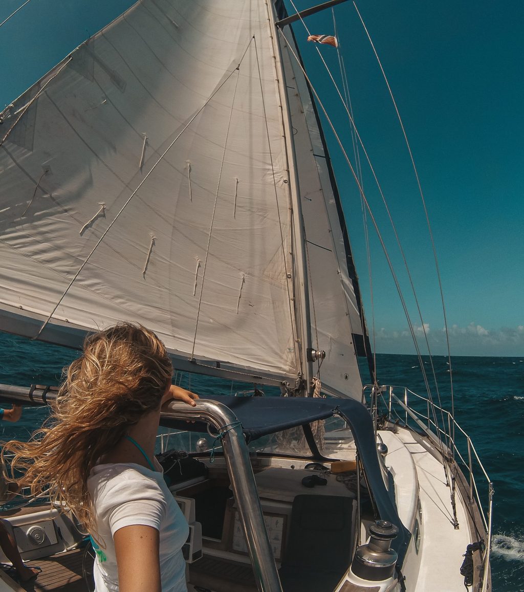
I already knew Tenerife from sailing in and out around Atlantic crossings, and from kitesurfing in El Médano in the south. Walking across the island on foot is a completely different way to experience it. The contrast between the green humid north and the volcanic south is something else.
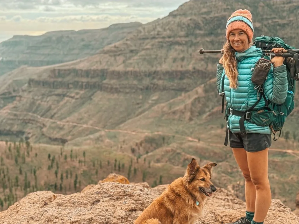
If you've already done the GR131 across Gran Canaria, this is the natural sister trail. Same long-distance signage system, different island, different landscapes. You can watch our GR131 Gran Canaria hike on YouTube, with Jonatan and Wingo.
Planning your first multi-day hike? I'm finishing a field guide for exactly that, Your First Hike, out this autumn. Join the waitlist and you'll get it first, at a launch price.
One email when it is ready, with the launch price. You can unsubscribe at any time.
GR131 Tenerife: stages at a glance
| Section | From | To | Terrain | Notes | Where to sleep |
|---|---|---|---|---|---|
| 1 | Esperanza | La Caldera | Pine forest, steady uphill | Limited water, splits well into two days | No beds at La Caldera. Aguamansa or bus 345 to La Orotava |
| 2 | La Caldera | Teide NP entrance | Forest opens, first Teide views | Aguamansa for café stops | No beds at El Portillo. Bus to Puerto de la Cruz or on to the Parador |
| 3 | Teide NP entrance | Above Vilaflor | Volcanic desert, exposed | Hot, no shade, mouflon control days (Mon/Wed) | Parador (3 km detour) |
| 4 | Above Vilaflor | Vilaflor | Descent, flowers, forest | Supermarket closes around 13:30 | Vilaflor |
| 5 | Vilaflor | Arona | Ridge, mixed flowers, fruit trees | Coastal views appear toward Arona | Arona or Los Cristianos |
Total: around 67 km. Detailed section-by-section notes with accommodation further down.
Where to sleep on the GR131 Tenerife: the short version
No tent? Then you need a bed for five nights. The only official campsite on the route is La Caldera. It has been closed for forestry work since January 2025. So the rest of the trail is guesthouses and small hotels. The popular ones fill up. This is the night-by-night, with a live price comparison for each base.
- Night 0 in La Laguna, if you arrive late or come off the ferry from Gran Canaria. Bus 041 takes you up to La Esperanza in the morning. It leaves about every half hour (compare stays).
- Night 1 in La Esperanza, rural guesthouses at the trail start (compare stays).
- Night 2 in Aguamansa or La Orotava. Aguamansa sits just below La Caldera, with a few cottages and holiday homes (compare stays in Aguamansa). La Orotava has much more choice (compare stays in La Orotava). Bus 345 runs about every hour between La Caldera, La Orotava and Puerto de la Cruz. Not every trip goes all the way up to La Caldera, so check the times (compare stays).
- Night 3 at the Parador de Las Cañadas del Teide, the only bed inside Teide National Park, at 2,150 m. It sits about 3 km off the GR131 along an official branch, the GR 131.1. Expensive and it fills up, so check the Parador's availability early.
- Parador full? Bus 342 runs from the Parador down to Vilaflor. Sleep in Vilaflor and take the bus back up the next day (compare stays in Vilaflor). It runs only once a day in each direction, so check the times first.
- Night 4 in Vilaflor, rural guesthouses and small hotels (compare stays).
- Night 5 in Arona, rural rooms and small apartments (compare stays).
- Night 6 in Los Cristianos, if you carry on to La Gomera. Bus 480 runs from Arona down to Los Cristianos. So does bus 482. The ferries to La Gomera leave from here (compare stays).
Zoom into Vilaflor, Arona, or the north (La Esperanza / La Laguna) to find options near your planned overnight stops. Use the free cancellation filter on Booking.com to stay flexible.
The section-by-section further down has a map for each base, and the where-to-stay section covers the campsite, the Booking.com multi-stay discount and the Ocean Nomads members on the island.
What is the GR131 Tenerife?
The GR131 in Tenerife is part of the larger GR131 long-distance trail that crosses seven of the Canary Islands: Lanzarote, Fuerteventura, Gran Canaria, Tenerife, La Gomera, La Palma and El Hierro.
On Tenerife, the trail roughly connects the north of the island (Esperanza) with the south (Arona), passing directly through the heart of Teide National Park. It's also referred to locally as the Camino Natural de Tenerife or the Camino Natural Anaga-Chasna. The route is one of the longer single-island sections of the GR131 network and one of the most varied, because of how many ecosystems you pass through on a single trail.
How long is it, really? You'll see different numbers quoted online. The full official Anaga-Chasna line, counted from the Anaga peninsula in the far north-east, comes to around 85 km. The classic Esperanza to Arona crossing that most thru-hikers walk, and that this guide covers, is about 67 km. Both are the GR131; the difference is where you start counting.
The “old” line of the GR131 Tenerife runs Esperanza to Arona (or the other way round). Some hikers add the option to descend further to the coast at Los Cristianos or Las Galletas, but the official endpoint is Arona itself.
Why hike the GR131 Tenerife
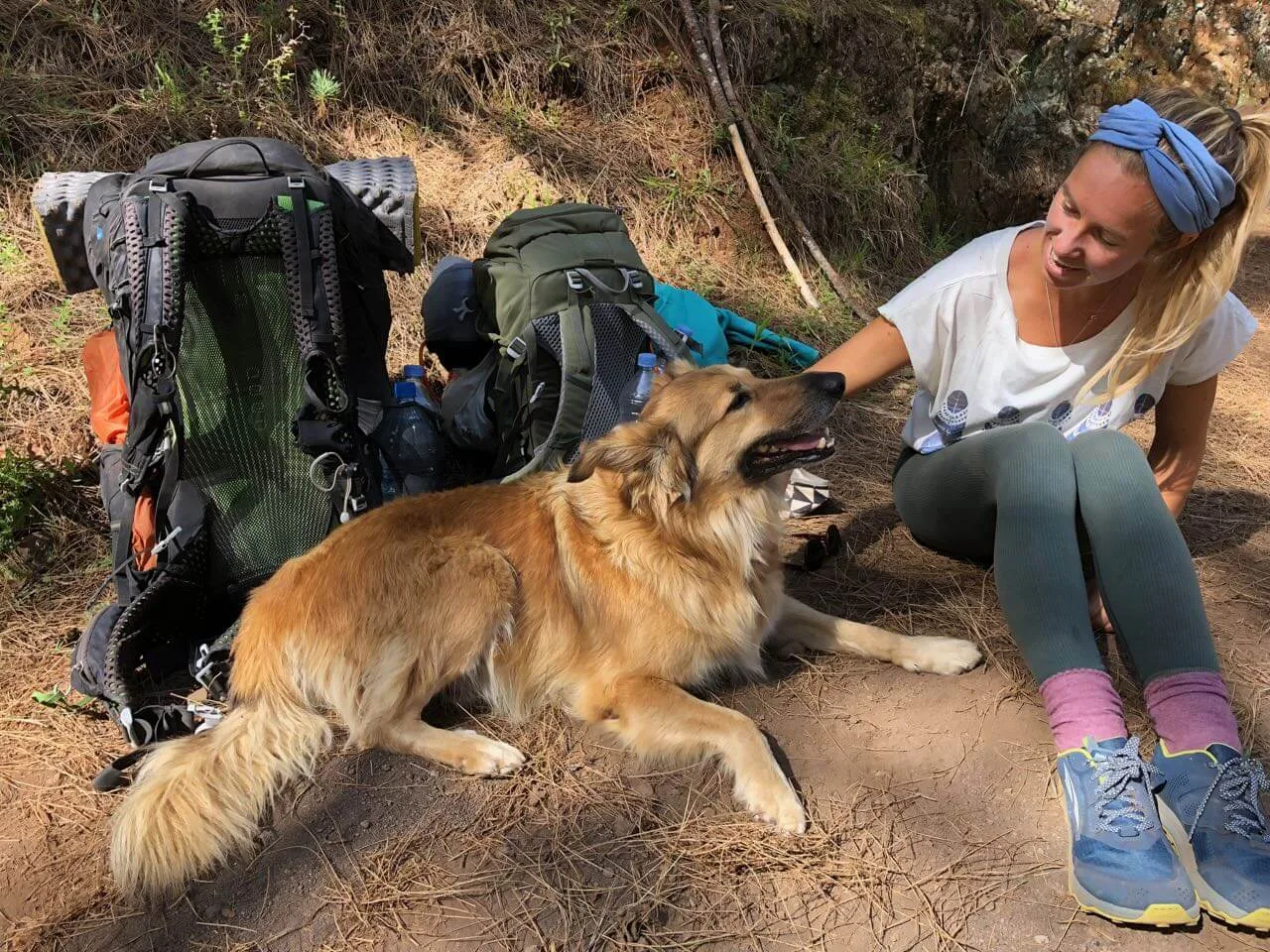
The GR131 Tenerife gives you a surprising amount of variety for such a short trail. You move through:
The whole archipelago, island by island, with the ferries and buses between them, is in my GR131 Canary Islands guide.
- Shaded pine forest
- Flower-rich meadows (in spring)
- Volcanic desert and lava fields
- Teide National Park
- Quiet mountain towns with cafés
- Ridges overlooking the southern coastline
- Coastal views as you descend to Arona
The navigation is simple, the distances are reasonable, and you can resupply in a couple of towns along the way. The exposure near Teide makes the trail feel wild, without the technical challenges of alpine terrain.
It's a great training trail or a good option if you only have a few days and want something memorable. I'd also recommend this trail (or the GR131 Gran Canaria) as preparation before sailing across the Atlantic. You'll start the crossing with movement, fitness and clear head.
How we hiked the GR131 Tenerife
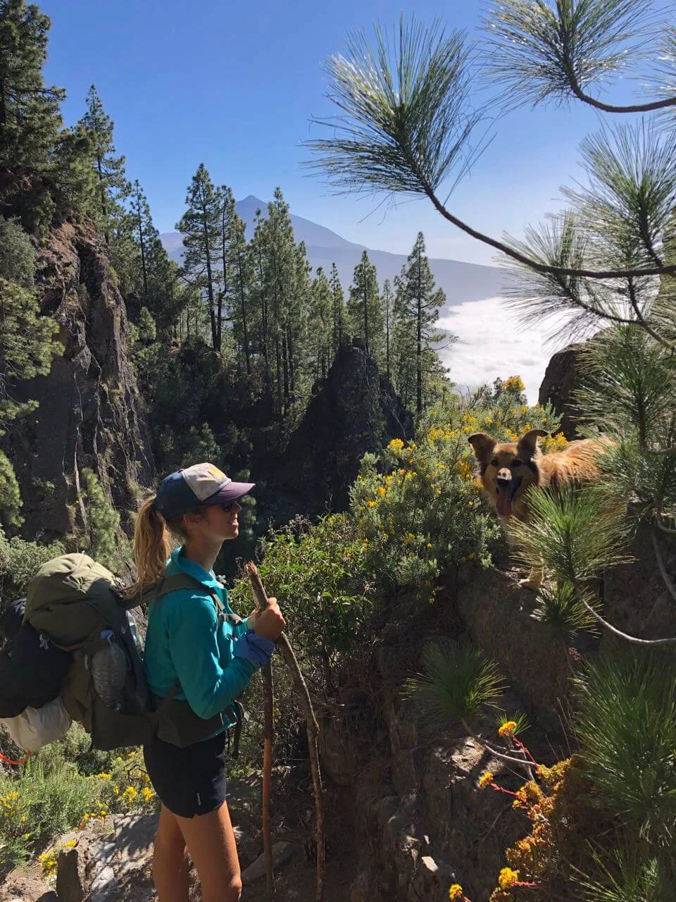
I hiked the GR131 across Tenerife in May, starting in Esperanza in the north-east. Esperanza is easy to reach by bus or car from Santa Cruz or La Laguna. The trail starts at the village edge and dives straight into the pine forest of Esperanza.
We carried a small tent and a water filter. We drank tap water from villages and topped up where we could on trail. Water sources exist but aren't reliable enough to depend on, especially through Teide National Park.
In May the weather was stable: sunny days, some wind, and cold mornings at altitude. The wind actually made the Teide crossing more comfortable. Without it, the heat would have been intense.
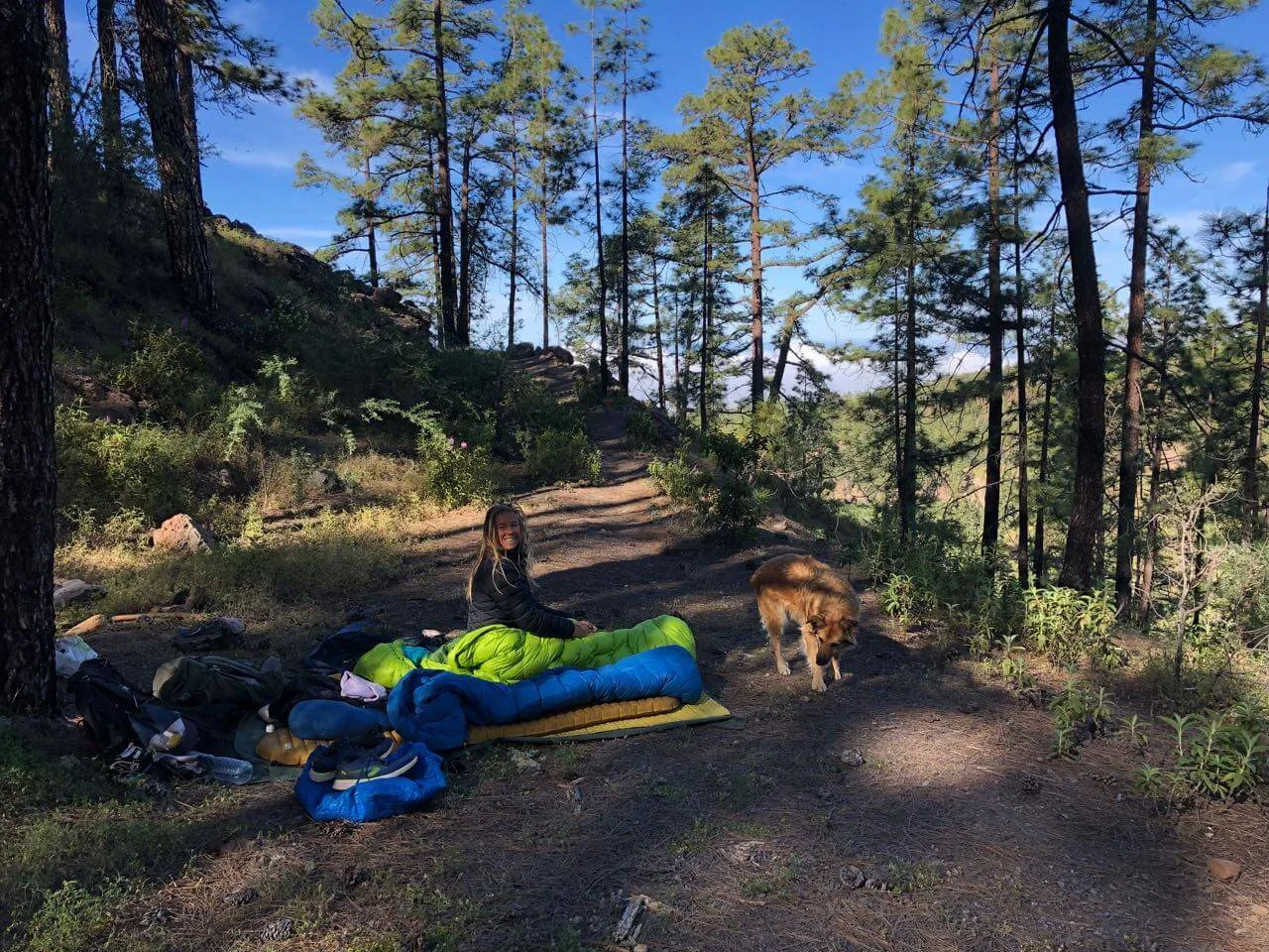
We slept at the official La Caldera campsite, in a quiet forest area near the Teide entrance, in a barranco above Vilaflor, and a final cowboy-camp under trees between Vilaflor and Arona. The mountain nights were cold but manageable with layers.
We finished in Arona, had coffee in town, walked to the airport, and rented a car (30 euro) to drive back to where we'd left ours in the north. If you're without a dog the logistics are a little bit easier :)
Which direction should you hike?
You can walk the GR131 Tenerife in both directions. Both work.
If you start in the north at Esperanza, you walk into shaded pine forest first, climb gradually toward Teide, cross the volcanic desert at altitude, then descend through Vilaflor into the dry south. The build is forest, then mountains, then desert. That's how we did it. The advantage is that you finish in the warmer south, easy to reach airports and beaches for a swim.
If you start in the south at Arona, the climb feels longer because you're gaining elevation on hot, exposed ground for the first stretch. The advantage is finishing in the cooler green north, where the air is fresher.
In practice it usually comes down to accommodation availability and onward travel logistics.
Navigation on the GR131 Tenerife
The trail is marked with red and white GR signs. Mostly they're clear. But in Teide National Park lots of trails cross, and it's easy to miss a turn. You have to stay alert. A GPX track on your phone helps a lot.
I use Mapy with the route loaded as an offline GPX. AllTrails is another useful reference for the official route and elevation profile.
Best time to hike the GR131 Tenerife
The Canary Islands are one of the best places in Europe for shoulder-season and winter hiking. For the GR131 Tenerife specifically, the higher altitudes around Teide push the season further toward spring and autumn.
- March: wildflowers begin, cool mornings, fresh air
- April: long days, lots of green, comfortable temperatures
- May: the sweet spot. Flowers, long daylight hours, stable weather, mild temps (I loved it!)
- October: warm, quiet, fewer crowds in Teide NP
- November: cooling down, still good conditions, occasional rain at altitude
Avoid July through September. The volcanic sections through Teide get very hot, very exposed, and there is no shade. Deep winter (December-February) can bring snow above 2,000 metres and storms on the Teide plateau. The trail is technically doable in winter but you'd want to be flexible with your dates.
Water and food on trail
Water on the GR131 Tenerife is limited. There are some natural sources and water points at villages, but the gaps are significant, especially through Teide National Park. Carry 2 to 3 litres minimum on the exposed sections.
There are taps here and there. But you should definitely anticipate it. Some campsites have a tap too. At La Caldera it isn't drinking water, so filter it.
Tap water in villages is fine to drink. I recommend a filter for natural sources: Maunawai (better but heavier) or Katadyn BeFree (ultralight, often good enough).
Food is a different challenge: opening hours. Shops and cafés on trail often open late, close early, and shut on Mondays. We arrived in towns during siesta a few times and found everything closed. Plan around it:
- Most places open around 10am
- Many close early afternoon
- Mondays are often closed
- Long siesta breaks (often 14:00 to 17:00)
Local food tips from my hike: Dulcería Hermano Pedro in Vilaflor for good coffee and pastries. Bar Atlética in Arona has decent vegetarian options once it opens.
Weather on the GR131 Tenerife
Tenerife sits in the middle of the Atlantic at the latitude of the Sahara, so temperatures stay friendly year-round at sea level. The trail crosses Teide National Park at over 2,000 metres altitude, which changes the picture.
- Sea level (Esperanza, Arona): mild year-round, hot in summer
- Teide National Park (above 2,000 m): cold nights, possible snow in winter
- Wind: common and usually helpful (cools the exposed sections)
- Summer: avoid, no shade in Teide, intense sun
We hiked in May with cold mornings at altitude (layers needed) and warm afternoons in the south. Wind through the Teide crossing was strong but welcome.
What to pack for hiking the GR131 Tenerife
Keep it simple but prepare for temperature swings. You'll go from coastal warmth to cold mountain nights and back, sometimes in the same day.
- Water filter (Maunawai or Katadyn BeFree)
- Water capacity for at least 2-3 litres on exposed days
- Sun protection (hat, long sleeves, natural sunscreen)
- Warm layers for the Teide nights (puffy + base layer)
- Wind- and waterproof jacket
- Beanie and gloves for altitude mornings
- Offline maps
- Power bank
- Shoes with good grip for volcanic gravel (I'm a fan of Topo's)
- Snacks for long gaps between towns
Forgot something? In La Laguna you can find gear. That's where I bought my first trail running shoes. They were Altras. Wow, they made such a difference!
My all-time hiking and camping favourites
- Backpack: Osprey Eja (48L) for women (here's a review) or Osprey Exos (58L) for men
- Patagonia 3L wind/waterproof jacket
- Icebreaker Merino Wool Legging and Crew Shirt
- Thermarest NeoAir Xlite Sleeping Pad
- Big Agnes tents: Fly Creek UL for solo, Copper Spur for two
- Sea2Summit UL Pillow
- Topo Athletic Trail Running Shoes (2-3 sizes too big)
If you want my full long-distance hiking gear list, you can download my packing list (including camping gear).
Camping in Tenerife: campgrounds and wild camping on the GR131
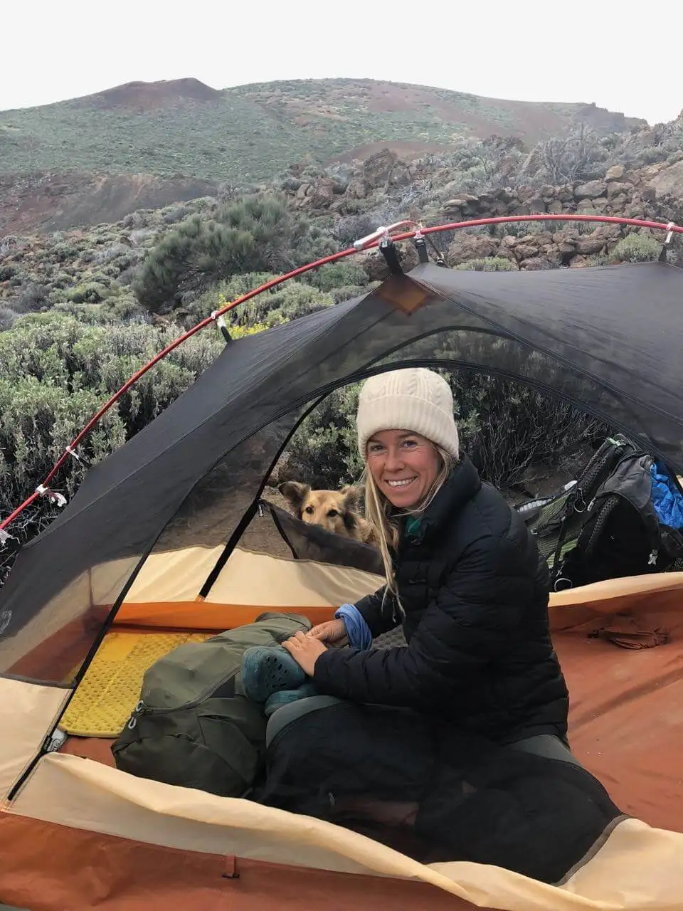
Camping in Tenerife is regulated. The official campground on the GR131 is La Caldera, a designated camping area in the pine forest. You book a free spot on Tenerife ON, which also shows when it's closed. It has been closed for forestry work since January 2025, so check before you plan around it. The tap there is not drinking water, so filter it.
What about wild camping? Wild camping is officially not allowed in Tenerife. In Teide National Park it is strictly forbidden. Outside the park, many hikers find discreet forest spots for a quiet bivouac and apply full Leave No Trace principles. This is a grey zone and the responsibility is yours.
A practical note for Teide: there's a mouflon population control programme on certain days (usually Monday, Wednesday, and sometimes Friday) from 7am to 1pm. Signs are clearly posted when it's active. It's managed well but worth knowing about, especially if you're camping near the park edge.
Leave no trace when camping
- Camp on durable ground, not fragile vegetation
- Keep your spot small and discreet
- Take all waste with you, including toilet paper (or use a portable bidet)
- Go to the toilet at least 60 metres from water sources and trails
- Don't wash in streams or natural water
- Never light fires (the volcanic landscape is bone-dry most of the year)
If someone walks past the next morning, they shouldn't be able to tell you were there. You may like reading: Hygiene and Leave No Trace on trail.
Hiking the GR131 Tenerife without a tent
Yes you can. But every night has to be booked.
We had Wingo with us, so we camped. With a dog, hotels are hard (and since December 2025 dogs aren't allowed in Teide National Park at all). Without a dog, the hotel version is doable if that's your thing.
There are no mountain refuges, refugios or albergues anywhere along the GR131 Tenerife. Unlike the GR11 Pyrenees or the Camino, this trail has no shelter network. Without a tent, every night needs to be a guesthouse or a hotel.
A practical 5-night no-tent schedule
- Night 1, La Esperanza: rural guesthouses at the trail start. See the map in the section-by-section below.
- Night 2, Aguamansa or La Orotava: Aguamansa sits just below La Caldera. It has bars, restaurants and a few cottages (compare stays). La Orotava has a broader range of accommodation. It's 30 minutes down by bus 345 or taxi (compare stays).
- Night 3, Parador de Las Cañadas del Teide: the only accommodation directly inside Teide National Park. A mid-range hotel at 2,150 m on the central plateau. It's about a 3 km detour off the GR131 along the official GR 131.1 branch. Expensive (€120-€200+) but it's the only in-park sleep option, with the only restaurant up there. Check Parador de Las Cañadas del Teide availability. Book early, it fills up.
- Night 4, Vilaflor: rural guesthouses and small hotels. See the Vilaflor map in the section-by-section below.
- Night 5, Arona: rural accommodation and small apartments. See the Arona map in the section-by-section below.
What about the Refugio de Altavista? It's not on the GR131. It's the summit refuge at 3,260 m on Mount Teide itself. You can add it as an optional summit night from El Portillo. Book the refuge well ahead. It has a basic kitchen and toilets. There's no shower and no drinking water. A night there gets you to the summit early. Then you walk down to the Parador and pick up the GR131 again.
GR131 Tenerife section-by-section
Esperanza forest (first stretch)
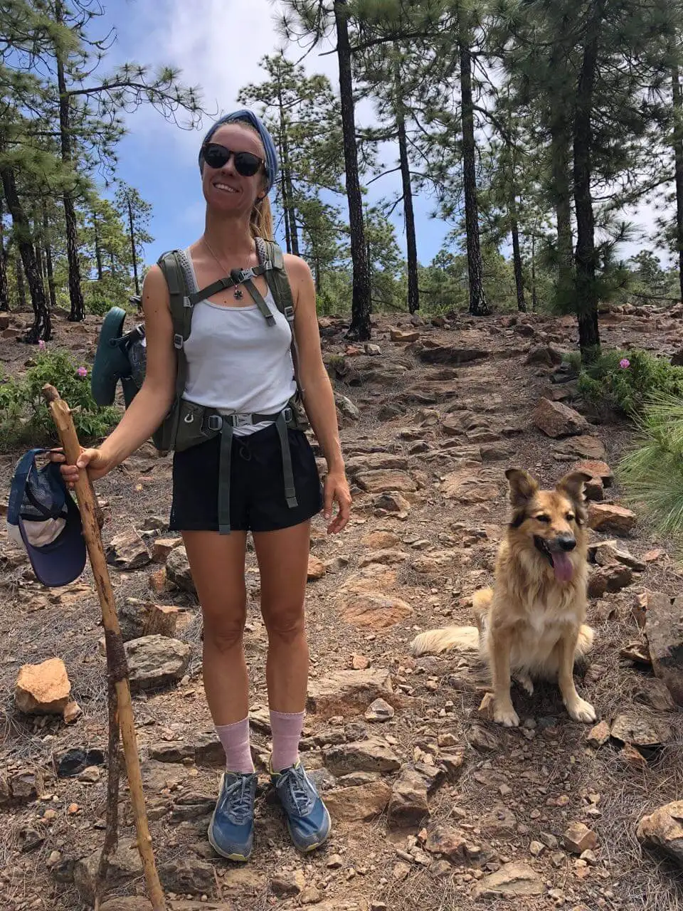
You walk out of Esperanza through a beautiful pine forest. It gets quieter and quieter. It's an easy walk out. Suddenly you're away from all the noise. That's amazing. In May everything is green. There aren't many water points, so fill up before you leave.
The stretch between Esperanza and La Caldera is long. Splitting it into two days makes it much more enjoyable, especially if you've just arrived on the island.
My partner Jonatan loved it so much so when we were back in Tenerife recently he hiked across again, in only 2 days! Here is vlog 1:
Where to stay in La Esperanza
La Esperanza is a small village near the trail start, easy to reach by bus from Santa Cruz or La Laguna. Most accommodation is rural-style apartments and small guesthouses. Worth a night here before the climb, especially if you've just landed and want to start fresh in the morning.
La Caldera and first views of Teide
This was a long day. Epic views of Teide start appearing. La Caldera has a designated camping area (check it's open before you go). A small town is nearby, but when I arrived everything was closed. Long siesta hours and late opening times are normal in Tenerife. If you want reliable food, start early and aim to reach towns before 1pm.
Transition to Teide National Park

Waking up in La Caldera was peaceful. Aguamansa has a couple of cafés and restaurants, most opening around 10. Cruz de Dornajito is a great place to rest: picnic tables, shade, grass.
From here the trail becomes more open. On clear days you can see the island in layers: forest below, volcano above, ocean beyond. The weather was calm, sunny, bird sounds, fresh air. A very enjoyable stretch.
Teide National Park crossing
One of the highlights of the GR131. We camped near the entrance to the park and woke to a cold morning. At 8am we waited for the bar to open and stayed there a while because of strong winds.
The crossing is very exposed with almost no shade. Hardly any other hikers. The wind helped, without it the sun would have been intense. Bring enough water.
Up there you feel like you're walking on the moon. Volcanic gravel, lava fields, distant peaks, sky everywhere.
Descent to Vilaflor
We slept in a barranco after crossing the high point. Big views. Windy night.
As you descend, the environment changes again. More flowers, more green. The first town, Vilaflor, appears with orange poppy-like flowers lining the entrance.
Be aware: the supermarket closes early (around 1:30pm). Luckily we made it just in time. Good coffee and pastries at Dulcería Hermano Pedro. We stopped at the park and another café before continuing in the evening, walking into the forest until we found a quiet sleeping spot.
Where to stay in Vilaflor
Vilaflor is one of the higher-altitude villages in Spain (over 1,400 m) and has a small but charming selection of rural guesthouses, small hotels and a few self-catering apartments. Wood-burners and stone walls. Book ahead in May-June and October when the trail is busiest.
Final stretch to Arona
Cowboy camping under the trees between Vilaflor and Arona was calm and comfortable. Clear night sky, some barking from dogs in the distance, but overall peaceful.
The final ridge section has mixed flowers, fruit trees, and occasional houses. Coastal views appear as you approach Arona.
We arrived in town during siesta, so everything was closed. Bar Atlética had good vegetarian options once it opened. At that point we were too tired to continue, so we slept in Barranco del Rey. The next morning we had coffee in Arona, and rented a car (30 euro) to drive back north to where the van was parked at the trail start. Renting a car is the fastest option. Taking the bus is also easy and much cheaper, just slower (around 3 hours from the south back up to Esperanza with one change in Santa Cruz).
Where to stay in Arona
Arona is a small inland town, much quieter than the coastal resorts a few kilometres south. Good base for one calm night to celebrate the finish before either heading to the airport or onward to the coast for a swim. Plenty of rural-style accommodation and small apartments.
Where to stay across the GR131 Tenerife
Accommodation along the GR131 Tenerife is patchy. La Caldera is the only official campsite. It has been closed since January 2025. Vilaflor and Arona have hotels and rural guesthouses. Near the start there are small options in La Esperanza and Aguamansa. The route map at the top of this post shows what's bookable along the way.
Two nights, one base
La Caldera and El Portillo have no beds. So you can also sleep two nights in one base down in the valley. La Orotava or Puerto de la Cruz both work. Bus 345 takes you down from La Caldera in the evening. Bus 348 takes you from Puerto de la Cruz up to El Portillo in the morning. Bus 348 runs only once a day in each direction. It also stops in Aguamansa. Check the times on TITSA before you set off.
Buses for the GR131 Tenerife
- Bus 041: La Laguna to La Esperanza, the start of the trail (about every half hour)
- Bus 345: La Caldera down to Aguamansa, La Orotava and Puerto de la Cruz (about hourly)
- Bus 348: Puerto de la Cruz up to El Portillo and the Parador (once a day)
- Bus 342: El Portillo to the Parador, Vilaflor, Arona and Los Cristianos (once a day)
- Bus 482: Vilaflor to Arona and Los Cristianos (weekdays)
- Bus 480: Arona down to Los Cristianos
Times change and some lines only run a few times a day. Check TITSA for the current timetable.
Learn how to get 10-20% off bookings on Booking.com when booking multiple hostels or hotels at once.
We have several Ocean Nomads members based on Tenerife. Many of us navigate in and out, with the van or with the boat. I pinned some of my favourite spots and trails on the Ocean Nomads member map too.
Recommended links and resources
GR131 Cicerone Guidebook (covers all seven Canary Islands sections)
- Official Cabildo de Tenerife environment site for permits and trail closures
- GR131 Tenerife on AllTrails
- Mapy, my favourite navigation app (download offline maps)
- GR131 Gran Canaria guide (sister trail on the next island)
FAQ: GR131 Tenerife
How long is the GR131 Tenerife?
The classic Esperanza to Arona crossing is about 67 km. The full official Camino Natural Anaga-Chasna line, counted from the Anaga peninsula, comes to around 85 km. Most thru-hikers walk the 67 km core in 3 to 5 days.
How many days does it take to hike the GR131 Tenerife?
Most hikers complete the route in 3 to 5 days. We took 5, taking the first stretch slowly and giving Teide a full day.
How difficult is the GR131 Tenerife?
Moderate. The climbs are steady, the Teide section is exposed, but navigation is straightforward. No technical scrambling.
Is there water on the GR131 Tenerife?
Limited. There are some natural sources and village taps, but the gaps are significant through Teide. Carry 2 to 3 litres and bring a filter for natural water.
Can you camp on the GR131 Tenerife?
Officially only at the La Caldera campsite (free booking on Tenerife ON, where you can also see if it's closed). It has been closed for forestry work since January 2025. Wild camping is officially not allowed. Many hikers use discreet forest spots with full Leave No Trace responsibility. In Teide National Park, wild camping is strictly forbidden.
Can you hike the GR131 Tenerife without a tent?
Yes, but every night has to be booked. There are no mountain refuges or albergues anywhere on the GR131 Tenerife. Without a tent you sleep in guesthouses in La Esperanza, La Orotava (or Aguamansa), the Parador de Las Cañadas del Teide inside the national park, Vilaflor, and Arona. The Parador is the only accommodation directly inside Teide National Park and books up months ahead.
Can you sleep inside Teide National Park?
Yes, in one place: the Parador de Las Cañadas del Teide, a mid-range hotel at 2,150 m on the central plateau, about a 3 km detour off the GR131 along the official GR 131.1 branch. It is the only accommodation directly inside the park and the only restaurant at altitude. Wild camping inside the park is strictly forbidden. The Refugio de Altavista at 3,260 m is the Mount Teide summit refuge. It's not on the GR131, but you can add it as an optional summit night if you book ahead.
What is the best time to hike the GR131 Tenerife?
Spring (March-June) and autumn (October-November). May is the sweet spot: long days, flowers, stable weather, mild temperatures. Avoid July-September (extreme heat and exposure through Teide) and deep winter (snow above 2,000 metres).
Can you hike the GR131 Tenerife with a dog?
Not anymore. We hiked it with my dog Wingo in May 2022, also through Teide National Park. It was cold when we were there and he was fine with it. But since 18 December 2025 the park has a new management plan. Dogs are no longer allowed inside Teide National Park. Only guide dogs and working dogs are. The GR131 crosses the park, so with a dog you can't walk the full trail now. The GR131 Gran Canaria is a good alternative. We hiked that one with Wingo too.
Is navigation easy on the GR131 Tenerife?
Yes for the most part. The trail is marked with red and white GR stripes. A GPX file on your phone is still recommended, especially through the multi-trail crossings in Teide.
Does the GR131 Tenerife cross Teide National Park?
Yes, and it's one of the highlights. The crossing is exposed with no shade, so bring enough water and start early. The volcanic landscape feels otherworldly.
How do you get to and from the GR131 Tenerife?
Esperanza (the northern start) is reachable by bus or car from Santa Cruz or La Laguna. Bus 041 runs from La Laguna. Arona (the southern end) is around 20 minutes by taxi from Tenerife Sur airport (TFS). To get back from Arona to the northern trailhead, rent a car at the airport (fastest option, around 30 euro for the day) or take the bus, which is also easy and much cheaper, just slower (around 3 hours with one change in Santa Cruz).
Other amazing trails in Tenerife
The GR131 is the long way across. Tenerife has many more trails worth doing if you want to extend the trip or see a completely different side of the island.
Anaga Rural Park (the green, foggy north-east)
Anaga is the opposite of Teide. Rugged mountains, ancient laurel forest (laurisilva), deep barrancos dropping straight to the ocean, fog drifting through the trees. UNESCO Biosphere Reserve. I highly recommend hiking here. If you have a day or two extra in Tenerife and the GR131 hasn't satisfied your hiking appetite, head north-east.
The trails are short to medium length (most are day hikes, not multi-day), and the landscape is completely different from the volcanic south. Routes around Chinamada, Roque de Taborno and the Punta de Anaga lighthouse are the classics. Some loop down to wild Atlantic beaches like Benijo and Tamadiste.
Browse the Anaga trails on AllTrails for maps, distances and reviews.
Teno Rural Park (the lesser-known west)
Anaga's quieter sister on the north-west of the island. Cliffs dropping to the Atlantic, traditional villages like Masca and Teno Alto, and the famous Masca Gorge hike. The Masca Gorge route requires a permit and is closed when conditions are unsafe, so check current status before going. The wider Teno Rural Park has plenty of other quieter walks.
GR131 across the other Canary Islands
The GR131 crosses seven of the Canary Islands. If Tenerife sparked your appetite for island thru-hikes:
- GR131 Gran Canaria guide: 85 km, 5 stages, sister trail with similar variety (and the videos from our hike)
- GR131 Fuerteventura guide: the desert one. Flatter, drier, more remote. About 7 days of slow, simple nomadding across the island. We hiked it before Tenerife.
- GR131 La Gomera, La Palma and El Hierro: the three islands still on my list. La Palma especially has a reputation for spectacular hiking.
I love Tenerife and Gran Canaria equally. Gran Canaria surprised me even more. Arriving in Maspalomas was the wildest thing. Both islands have a drier side and a wetter side. We hiked Gran Canaria after it had been raining. There was water everywhere, and waterfalls. It gave it a whole different vibe.
So the timing matters. If you can be flexible with your weather window, that's amazing.
Is the GR131 Tenerife worth it?
Yes. It's a very pretty and easy hike. You get forest, volcano, mountain towns and coastal views in 67 km. The Teide crossing alone makes it worth the trip.
You won't find perfect logistics or a clean stage-by-stage. The towns close when you need them open. The water sources are unreliable. Wild camping is officially off-limits. But if you plan around those things, you cross a whole Atlantic island on foot in a few days, and you walk through landscapes most people only see from a bus window.
I'd hike it again.
Everything else I carry and book for the Canaries trails is on my travel resources page.
Happy trails. Stay wild.
With love, Suzanne
Wild at heart? Let's be friends.
Join me on YouTube for slow travel adventures by van, sail and on foot.
Or get my new stories by email, every couple of weeks.
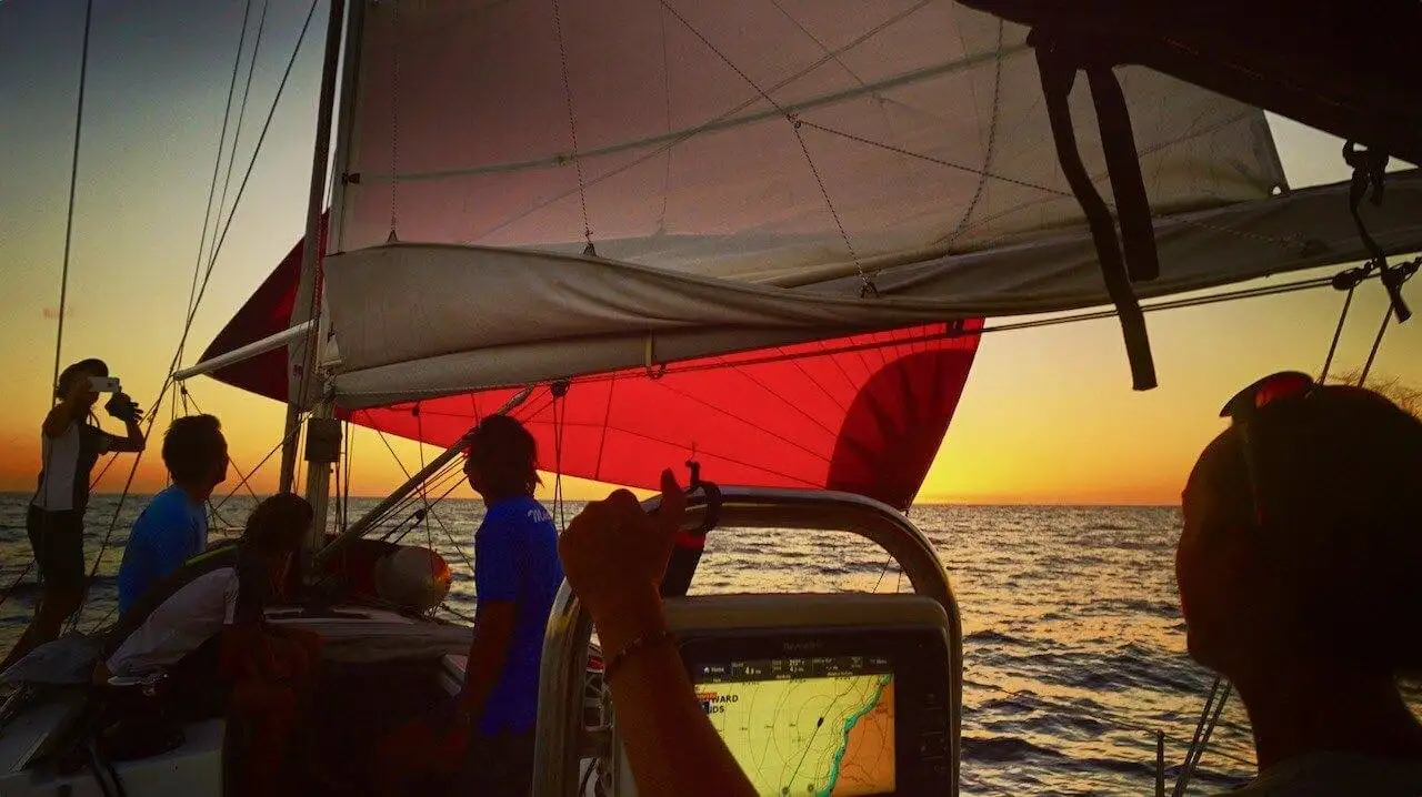
Looking to sprinkle more adventure, impact and community into your life? Ocean Nomads is the community I founded. It's for people who live, or want to live, a little wilder.
Explore Ocean NomadsFor deeper dives, find me on Patreon. You can join for free.
Explore more
Read next
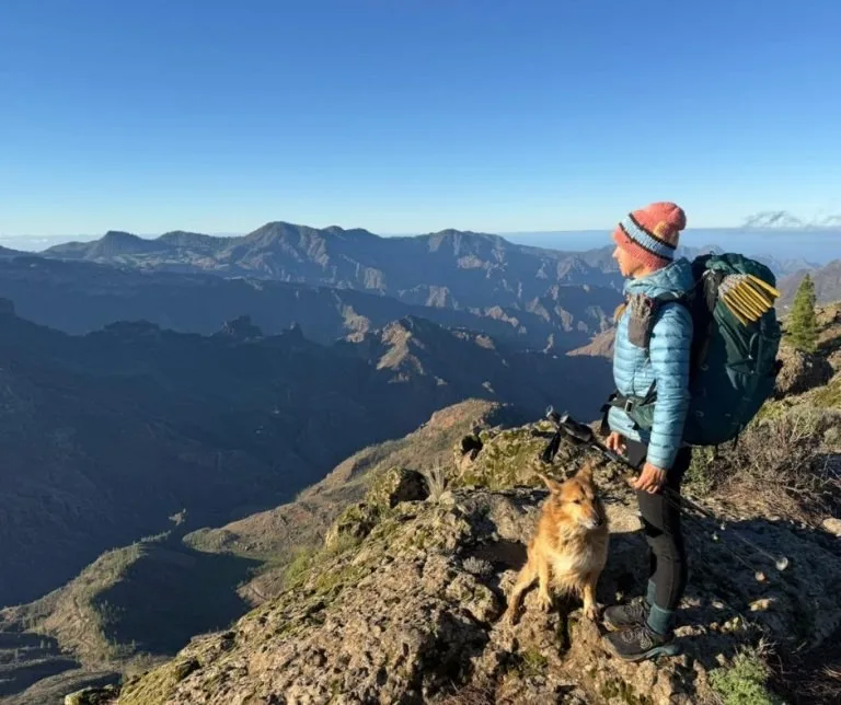 GR131 Gran Canaria, the sister trail
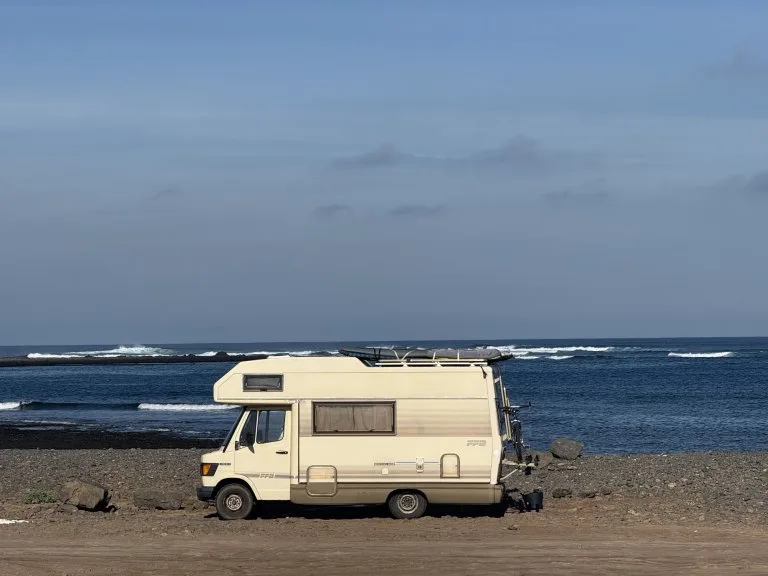 Fuerteventura by van, on foot and in the sea
 To the Canary Islands without flying
Watch on YouTube


Some links are affiliate links. At no extra cost to you, they give me a tiny piece of the pie. That raises the adventure fund and helps me keep exploring and creating. I only recommend things I truly love and use myself. Huge thanks if you buy through this website (but try to find it second-hand or locally first!).
You may also like reading: How to travel to the Canary Islands without flying
You may like reading: my full guide to hiking the Fisherman's Trail in Portugal, all 13 stages, the map, where to stay and what it's really like.