

The GR131 is one long-distance trail across all seven Canary Islands: seven island crossings, around 560 km in total, more or less stitched together by ferry.
GR stands for Gran Recorrido, the Spanish name for a long-distance hiking trail. On the signs you will see it written GR 131 as often as GR131. It is the same family as the GR11 across the Pyrenees I walked with my dog Wingo, only this one hops islands.
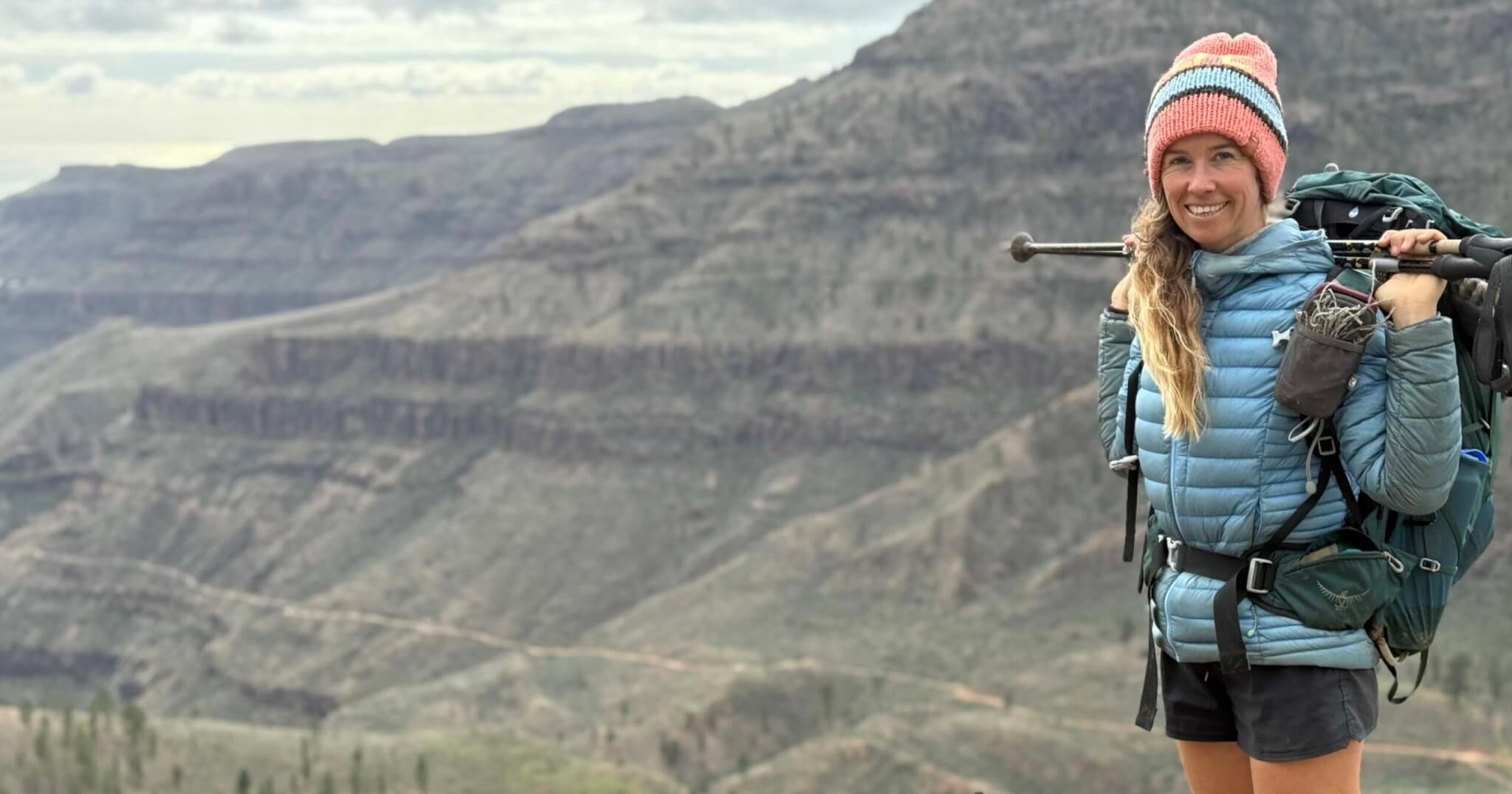
I have walked three of the seven: Fuerteventura, Gran Canaria and Tenerife, with Wingo. I have been to every island except El Hierro, by van and by boat. I have spent four winters in the van in the Canaries and other winters here under sail. I was looking at walking the whole trail last winter. But we were in the islands with the van and the dog, with Ocean Nomads going on. Getting to each starting point is not always straightforward. So I have walked the islands at different times instead. I would walk every single one of them again.
This is the planning guide I wish I had found before my first long-distance hike here: which island to pick, how the islands connect without a single flight, how many days each one takes, where the water is, where you can sleep, and what I would do with a week, a month or a whole winter.
My verdict: pick one island and walk it properly. If you have the time, link two or three with the ferries. The whole chain is a beautiful winter, not a box to tick.
Updated October 2026. Based on my GR131 crossings of Fuerteventura, Tenerife and Gran Canaria, walked at different times, and four winters living in the islands.
The seven islands at a glance
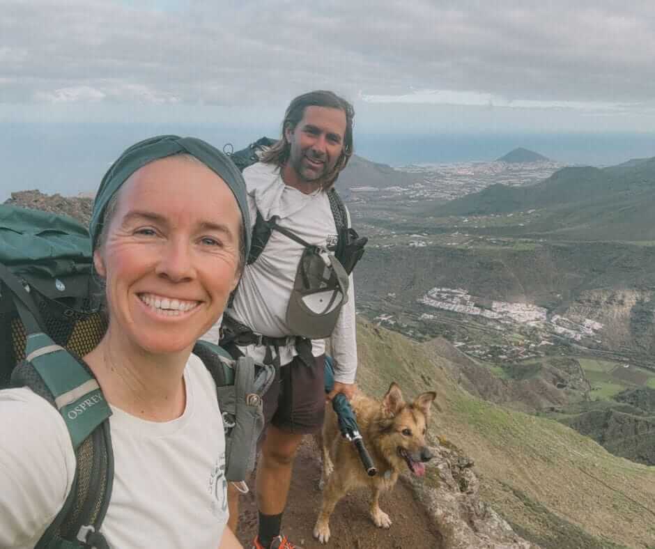
| Island | Distance and days | What it is like | My guide |
|---|---|---|---|
| Fuerteventura | Around 150 km, 8 walking days. I took a week to La Pared. | Desert, dunes, wind and space. Easy underfoot, serious because of the exposure. My first long trail. | GR131 Fuerteventura guide |
| Gran Canaria | Around 85 km, 5 stages. We took five days. | The steep one. A big climb into pine forest, then canyons all the way down to the south. | GR131 Gran Canaria guide |
| Tenerife | Around 67 km. Five days for me in May, two for Jonatan. | The volcano. Forest ridges, then Teide National Park and the caldera, then the dry south of the island. The highest you get along the GR131. | GR131 Tenerife guide |
| Lanzarote | 71 km, 5 stages | Volcanic country, black and red, with the ferry to Fuerteventura waiting at the end. Lanzarote and Fuerteventura make a natural pair. I wintered here in the van, I have not walked it yet. | Coming |
| La Palma | Around 70 km, 3 stages | The green one and the big one for climbing: the volcano route along the spine of the island. I lived here a winter, I have not walked the crossing yet. | Coming |
| La Gomera | 41 km, 3 stages | Small, steep and wrapped in laurel forest. Reached by ferry from the south of Tenerife. The GR132 coastal loop is here too. | Coming |
| El Hierro | 42 km, 4 sections | The far one. The only island I have not reached yet. | Not yet |
Each island has its own Camino Natural name as well: the Camino Natural de Fuerteventura, Anaga-Chasna on Tenerife, El Bastón on La Palma, Cumbres de La Gomera, the Camino de la Virgen on El Hierro. Together they are the GR131 Canary Islands. You can walk the GR131 one island at a time. Same red and white stripes everywhere.
Which GR131 island should you walk, and do you need all seven?
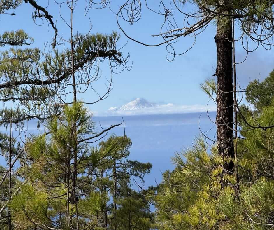
While I was in the Canaries I met a few hikers here and there who were walking the whole thing. Most people walk one island. Nobody needs all seven. The GR131 is seven separate crossings with ferries in between. You can pick.
I have also met quite a few people skipping Fuerteventura because they think it's not pretty. They're wrong. There is so much beauty in the desert to be found. It was my first long trail and I'd send a first-timer there before anywhere else. It is easy underfoot and you learn the one lesson that matters on every island: plan your days around water, not kilometres.
Gran Canaria and Tenerife are both absolutely amazing. You arrive and think: whoa, what a craziness. From the start in Santa Cruz or the end of the trail in Los Cristianos or Maspalomas, it's wild. Then you walk inland and it's so amazingly beautiful, especially because it's steep. You get many ecosystems in a few days and hardly anyone up there.
So, in my words: Gran Canaria has the drama. Tenerife has the volcano. Fuerteventura has space, and the quiet that comes with it. If you want the busier, steeper, greener islands, start with Gran Canaria or Tenerife. If you want solitude, long empty tracks and a gentle first trail, Fuerteventura is the one.
Lanzarote, La Palma and La Gomera I know from the ground, from winters in the van and from sailing in. I have not walked their crossings yet. When I do, they get their own guides, and until then I will not pretend to a boots-on report. El Hierro is the one I have not reached at all.
If you only have a week, pick one island. If you have a winter, link them up: ferry from Lanzarote into Corralejo, the start of the Fuerteventura trail. Walk south to Morro Jable, ferry to Gran Canaria, bus down to Maspalomas, walk up to Agaete. From Agaete the ferry goes straight to Tenerife.
How do the islands connect, port to trailhead?
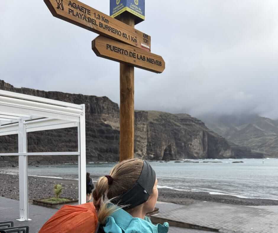
This is the part that stopped me from walking the whole trail in one winter. So here it is worked out, island by island, north-east to south-west, the way the trail is signed. Four of the seven trailheads are at the ferry pier. The other three need a bus, and one end needs a taxi.
You never need a plane between the islands. The ferries take dogs on foot-passenger tickets. Fred Olsen and Baleària Canarias both do, booked together with your ticket. You cannot just turn up with a dog on the day. Baleària took over Naviera Armas in the Canaries in 2026. The Armas sailings you still see on booking sites are Baleària now.
| Island and trail | Getting to the start | From the end to the next ferry | The ferry on |
|---|---|---|---|
| Lanzarote Órzola to Playa Blanca. 5 stages, 71 km. | From the mainland the ferry lands at Arrecife. Intercity bus 9 from the Arrecife bus station to Órzola takes about an hour, only a few a day, and ends at the pier where the trail starts. | The trail ends in Playa Blanca town, a short walk from the ferry terminal. | Playa Blanca to Corralejo, 25 to 35 minutes, 20 or more sailings a day (Fred Olsen, Baleària, Líneas Romero). |
| Fuerteventura Corralejo to Punta de Jandía. 9 stages including Lobos, around 150 km. | The ferry lands at Corralejo, the trail start. | From the lighthouse the little Tiadhe bus 111 to Morro Jable runs about twice a day. Check it or budget for a taxi. | Morro Jable to Las Palmas, 1h45 to 2h, about five a day. |
| Gran Canaria Maspalomas to Agaete. 5 stages, 77 to 91 km depending on the variant. | From the Las Palmas piers walk to Santa Catalina, then Global bus 30 to Faro de Maspalomas, about an hour, every 20 minutes on weekdays. | The trail ends at Puerto de las Nieves, the Fred Olsen pier for Tenerife. | Agaete to Santa Cruz de Tenerife, 1h20, six to eight a day, Fred Olsen only. |
| Tenerife La Esperanza to Arona. 5 stages, 67 km the way I walked it (the official text says around 93). | From the Santa Cruz pier walk 15 to 20 minutes to the Intercambiador, take tram line 1 to Padre Anchieta in La Laguna (about 35 minutes), then TITSA bus 041 to La Esperanza, 15 minutes, every half hour. | From Arona, TITSA bus 480 or 482 down to Los Cristianos, about 25 minutes, or walk the 8 km by road. | Los Cristianos to San Sebastián de La Gomera, 50 minutes, seven or eight a day in summer, fewer in winter. |
| La Gomera San Sebastián to Vallehermoso. 3 stages, 41 km. | The ferry lands at San Sebastián, the trail start. | From Vallehermoso, Guaguagomera bus 2 back to San Sebastián, about 1h10, around five a day. | La Gomera to Santa Cruz de La Palma, about 2 hours on the fast Fred Olsen boat, one to three a day. Some sailings run through from Los Cristianos. |
| La Palma Puerto de Tazacorte over Roque de los Muchachos to the Fuencaliente lighthouse. 3 stages, around 70 km. | From Santa Cruz de La Palma, TILP bus 300 to Los Llanos (50 minutes, every half hour), then 27, 29 or 110 to Puerto de Tazacorte. The first stage is closed by a landslide as I write. Start at Mirador El Time, where bus 110 stops. | From the lighthouse, TILP bus 23 to Los Canarios (about 35 minutes, every couple of hours), then 200 or 201 to Santa Cruz (about 45 minutes). | No direct ferry to El Hierro. Back to Los Cristianos (2h30), then on to El Hierro (2h20), five to six hours in all. |
| El Hierro Puerto de la Estaca to the Orchilla lighthouse, the Camino de la Virgen. 4 sections, 42 km. | The ferry lands at Puerto de la Estaca, where the second section starts. | No bus from the Orchilla lighthouse. Taxi only, an hour or more back to Valverde and the port. | El Hierro to Los Cristianos, 2h20 to 2h35, daily. |
I walked Gran Canaria from Agaete down to Maspalomas. For the chain, walk it the other way, south to north. You finish next to the Tenerife ferry.
The easiest order is the one in the table: Lanzarote, Fuerteventura, Gran Canaria, Tenerife, La Gomera, La Palma, then back through Los Cristianos for El Hierro. The five connections to plan ahead are the Órzola bus, the Faro de Jandía bus, the Vallehermoso bus, the Fuencaliente lighthouse bus and the Orchilla taxi. Everything else is a pier and a walk.
Two closures as I write this, October 2026. The last kilometre out of La Esperanza on Tenerife is cut for maintenance. The first stage on La Palma is shut by a landslide. Timetables change with the season too. Check the operators before you go. This is the shape of it, not a timetable.
Getting to the Canaries without flying is possible too. From the mainland the ferry from Huelva lands in Las Palmas or Tenerife after 30 to 36 hours. Baleària runs Cádiz to Arrecife roughly once a week, about 28 hours. That drops you at the top of the chain. Every autumn hundreds of sailboats leave the mainland for Las Palmas before the Atlantic crossing. I have done the ferry six times with the van and the dog, and sailed in and out a few times. The whole story is in my guide on how to travel to the Canary Islands without flying.
How long is the GR131 and how many days do you need?
Around 560 km for all seven islands. Nobody walks that in one trip. The ferries and the rest days between islands add up. Think in islands, not kilometres.
Fuerteventura took me a slow week with a tent and a dog, up to La Pared, where the dog attack ended it. The full crossing is eight walking days. Gran Canaria took us five days, a stage a day. Tenerife took me five days, in May. Jonatan walked it in two, in late autumn. If you are very fast, it can be done. The four islands I have not walked yet are three to five days each on paper. A week gives you one island done well. Two weeks gives you two islands with a ferry day in between. A winter gives you the lot, with time to sit in the villages. That is the whole point.
How hard is the GR131?

Technically it is not a hard trail. The paths are good, the trail markers are mostly clear and there is no scrambling. What makes it demanding changes from island to island.
On Fuerteventura it is the exposure: sun, wind, no shade and long dry stretches. The kilometres are easy. The day is not. On Gran Canaria it is the climb: the first day out of Agaete gains a lot of height. The whole island is steep. On Tenerife it is the altitude and the cold up in the caldera, then the heat on the way down to the south. La Palma and the western islands are the steepest of all. The people who have walked them rate them the hardest.
A fit beginner can do these hikes. A first-timer is fine on Fuerteventura. Tenerife and Gran Canaria are fine too, with a light pack and the water planned. If you have never done a multi-day hike, get trail ready with Your First Hike. It is everything I wish I had known before my own first long trail.
When is the best time to hike the GR131?
Winter. This is one of the few places in Europe where you can walk a long trail in December, January and February and be warm. I have hiked GR131 sections in every month from December to May. All amazing.
| Month | What it is like on the GR131 |
|---|---|
| October | The season starts. Warm and quiet. The first sailboats arrive in Las Palmas. |
| November | Warm and quiet, a great start of the season. |
| December | An ideal mix of sun and fresh air, cooler higher up. We walked Gran Canaria in late December. |
| January | Cool mornings, clear days, very good hiking conditions. |
| February | Stable weather, fewer crowds, great visibility. |
| March | Warmer and longer days, spring arriving. |
| April | Warm, long days. The last easy month on Fuerteventura. |
| May | Getting hotter, more flowers. Spectacular on Tenerife, already hot in the south. |
| June to September | Too hot and, in July and August, the windiest months. The calima risk is highest. Avoid. |
Three things to plan around. The calima is a hot dusty haze off the Sahara that can land on any island at any time, for a few days. The wind never really stops on Fuerteventura and Lanzarote. And it gets cold up high: the Teide caldera and the top of La Palma are proper mountain nights in winter. Carry a warm layer even when the coast is shirt-and-shorts weather. Tenerife had big wildfires in 2023. Some forest sections were closed for a while afterwards. Check for closures before you go. Avoid July and August everywhere.
If you want another trail for the cold months, the Waitukubuli National Trail across Dominica is the coolest and wildest trail I have ever done. It is hard to reach. The best way in is by sail. With Ocean Nomads we sometimes sail across the Atlantic to get to that side.
Where is the water on the GR131?
Water is the number one worry people have about this trail. For me it has not been that big an issue. You pass a lot of villages. On Fuerteventura there is nothing reliable between them. You carry everything and refill at taps and shops. On Gran Canaria and Tenerife you refill in the villages too. After rain the streams run, a gift with a dog. Now and then there is a long dry stretch to plan, mostly on Fuerteventura. Carry more that day and you are fine.
I carry three litres on a normal day and more on the long exposed stages, with extra for Wingo. Reckon on two and a half to four litres per person per day. I carry a Katadyn BeFree filter on every trail. It weighs almost nothing and it is there for the one stream you might find. Tap water in the villages is often chlorinated but fine.
Where do you sleep on the GR131?

Town to town is the simplest way on every island. There is no refuge network here, nothing like the huts on the GR11. The trail passes a village or a town most days, with guesthouses, small hotels and the odd hostel. The small mountain villages have few beds and fill up. Book those first. The casas rurales often only take bookings by phone or WhatsApp, with the numbers on Google Maps.
Camping is a different story. It is tightening everywhere. On Fuerteventura wild camping is not permitted outside designated areas. On Gran Canaria you use designated campsites with a free permit from the Cabildo, and wild camping is not allowed. On Tenerife the one official campsite on the route, La Caldera, has been closed for forestry work since January 2025. The national park is strictly off limits. I wild camped on all three islands when I walked them. That does not make it legal. The rules have moved since. Check the current rules before you go, and if you do sleep outside, stay out of the protected zones, make no fire and leave nothing behind.
| Island | Camping | Beds |
|---|---|---|
| Fuerteventura | Not permitted outside designated areas, no real campsite network | Compare stays on Fuerteventura |
| Gran Canaria | Designated campsites with a free Cabildo permit, Tamadaba is on the trail | Compare stays on Gran Canaria |
| Tenerife | The one official campsite on the route, La Caldera, is closed for forestry work since January 2025. The Parador de las Cañadas del Teide is the only bed inside the park, 3 km off the trail on the GR 131.1 branch. Nothing else in the national park | Compare stays on Tenerife |
The night-by-night for each island, with the places I would book first, is in the three island guides.
How do you find your way on the GR131?
The red and white GR stripes, the trail markers of every GR131 route, run the whole way on every island, and mostly they are easy to follow. They go thin in the lava fields and the dunes of Fuerteventura, and on the descents on Gran Canaria, where several variants of the route share the hills. The distances on the signs are often wrong. Carry a GPX and do not lean on the stripes alone.
My setup is simple. The GPX loaded into Mapy for offline maps, AllTrails and Gaia GPS as backups, and a Garmin inReach Mini for the empty stretches. Download the offline maps before you set off, because phone coverage drops in the interior of every island.
Two things that confuse people. The GR132 is not the GR131: it is the coastal loop around La Gomera. You only meet it there. And the Camino de Santiago de Gran Canaria overlaps with parts of the GR131 on that island, with its own signs. It is not the same trail. If you want the whole archipelago on paper, the Cicerone GR131 guidebook covers all seven islands, stage by stage.
Can you hike the GR131 with a dog?
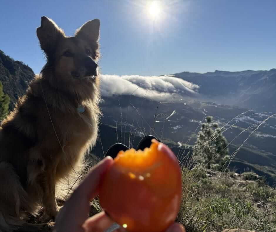
Yes, with one exception. Wingo has walked all three of my crossings with me. Since December 2025 dogs are not allowed in Teide National Park. That takes the Tenerife crossing off the list with a dog. We walked it in May 2022, before the ban. Winter temperatures suit a trail dog. The terrain is open and the ferries take dogs. Three things to know. Carry water for two, every day. Check paws every evening, the ground is hard and stony. And take the loose farm dogs seriously: they are the one real hazard out here. Wingo got hurt by them on Fuerteventura. That is where our thru-hike of that island ended. Dogs are not allowed on Isla de Lobos, the optional start of the Fuerteventura trail. The national parks have their own rules. Check before you walk in with a dog.
You may like reading my full pack list for thru-hiking with a dog.
The GR131 by van or by boat
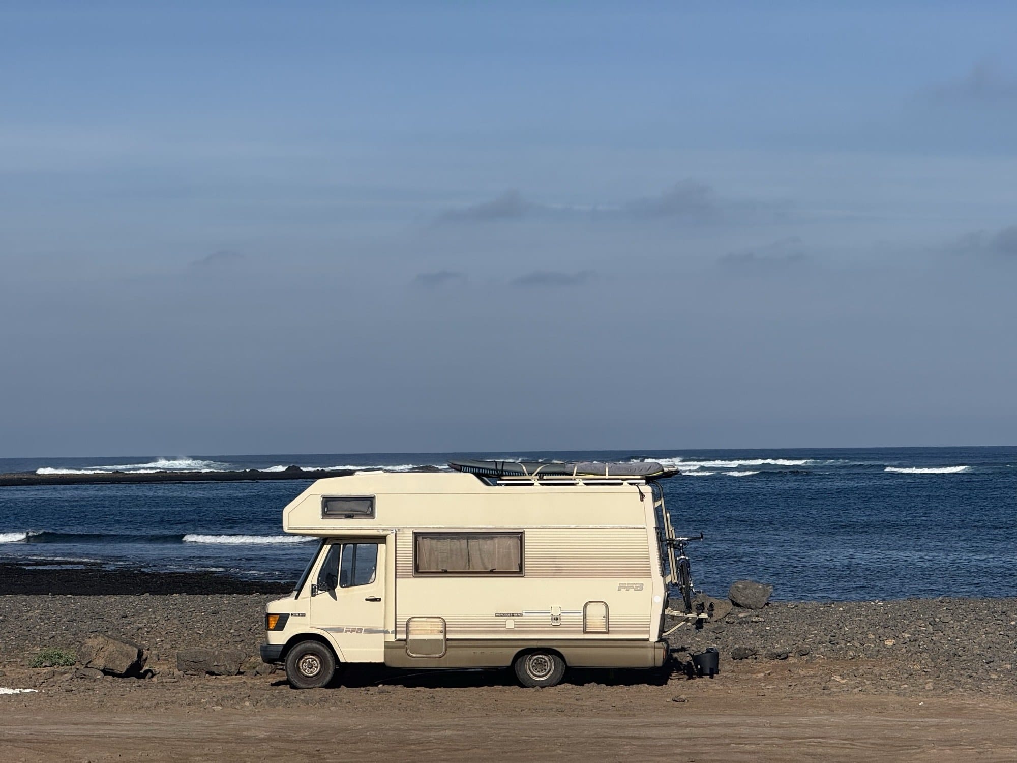
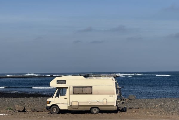
This is how I actually do it, and almost nobody writes about it. The van is my base camp. I park it at one end of an island, walk across, and come back by bus or ferry. Four winters in the Canaries that way, with the crossings as the highlights of the season. The van means a shower and a kitchen between islands, and a place to leave the things you do not carry.
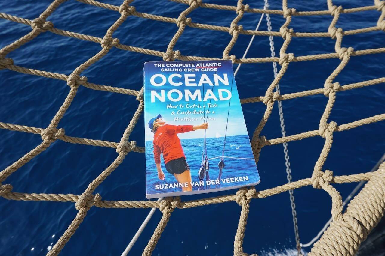
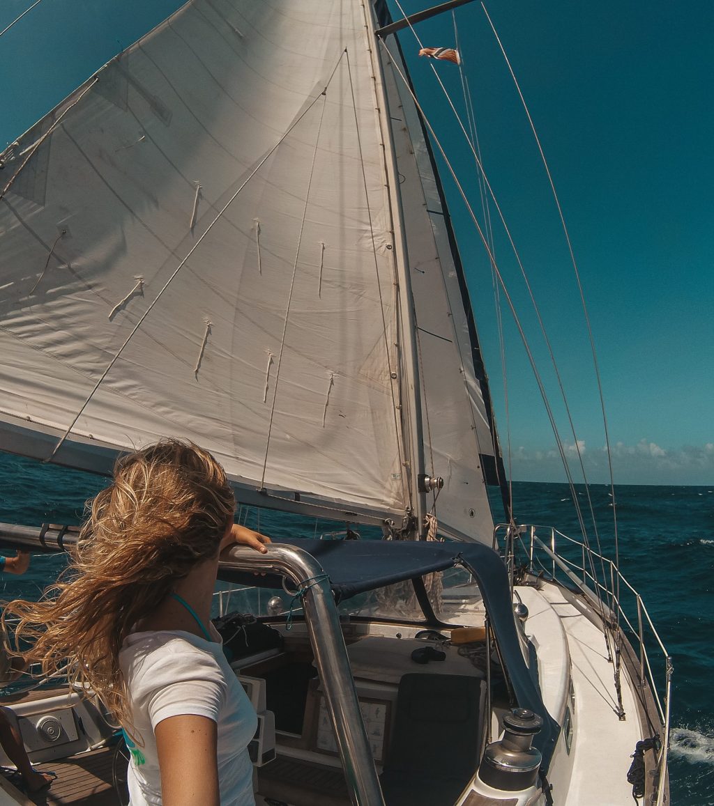
The boat is the other way in. Every autumn the sailboats gather in Las Palmas before the Atlantic crossing. The islands fill with crew waiting for weather. Walking across Gran Canaria or Tenerife in those weeks is the best thing you can do with the wait: you start the crossing with a good baseline of fitness and a head full of mountains. I run Ocean Nomads, a community for people who want to live a little wilder, explore a little further, and do it with good people. Now and then we sail trips through the Canary Islands. Sailing into a place and then walking across it is my favourite way to travel.
If you are here by boat, my Las Palmas sailing guide covers the harbour side. If you are here by van, the Fuerteventura travel guide is the island I know best, and my slow travel guides are where the Canary Islands map guide is taking shape.
What to pack for the GR131

Keep it light. I have watched people haul giant packs up the first climb out of Agaete and it makes the whole trail tougher than it needs to be. The things that matter here are water capacity for three litres and more, sun cover (a hat, long sleeves and a sunscreen that does not poison the ocean), a windproof layer for Fuerteventura and the ridges, and a proper warm layer for the nights up high. Trail shoes are enough on all three islands I have walked. If you camp, bring a tent that stands up to wind on hard stony ground.
My base weight is 6 to 7 kg, depending on whether I carry the dog's gear and a camera. The full gram-by-gram list is in my pack list post, and how to put it all in the bag is in how to pack a backpack.
FAQ
Is the GR131 one continuous trail?
No. It is seven separate crossings, one per island, linked by ferries. You can walk one, a few, or all of them over several trips. I have walked three.
Which GR131 island is best for a first long hike?
Fuerteventura. It is easy underfoot and the villages come often enough. It teaches you to plan around water. It was my first long trail. Gran Canaria is the one to pick if you want mountains and drama in under a week.
How many days do you need for the whole GR131?
Around 560 km across seven islands, plus ferry days. Count on five to six weeks if you want to walk the entire GR131 in one winter. That is without lingering. Most people do one to three islands per trip.
Can you wild camp on the GR131?
Officially no. The rules are tightening on every island. Gran Canaria has designated campsites with a free permit, Tenerife has one official campsite on the route, Fuerteventura has none. Town to town is the simple legal option. Check the current rules before you go.
Is the GR131 the same as the Camino de Santiago?
No. On Gran Canaria the Camino de Santiago de Gran Canaria overlaps with parts of the GR131 and has its own signs. That confuses people on the descents. The GR131 is the island crossing. The GR132 is different again: the coastal loop around La Gomera.
Can you reach the GR131 without flying?
Yes. Ferry from Huelva or Cádiz on the mainland, or crew on a sailboat heading south in autumn. Between the islands you never need a plane. My guide to the Canary Islands without flying has the ferries, the prices and the sailing option.
Final thoughts
Three islands walked, four to go, and no hurry. The entire GR131 is a winter, not a race. The GR131 gave me my first long trail, a new hobby and a reason to keep coming back to these islands in winter. Pick one island. Walk it slowly. Sit in the villages. Let the ferry decide the next one.
Explore more
Read next
 How to travel to the Canary Islands without flying
 Vanishing Sail Filmscreening in Lanzarote – Canary Islands
 Las Palmas Atlantic Sailing Guide
 All my Canary Islands posts
Watch on YouTube


If this resonates
Planning your first multi-day hike? I put everything I wish I had known before my first long trail into Your First Hike.
Want to see what these islands look like on foot? The Gran Canaria crossing is on YouTube, with Jonatan and my dog Wingo.
Or get my new stories by email, every couple of weeks.
The island guides
- GR131 Fuerteventura: stages, wild camps, where to stay
- GR131 Gran Canaria: 5 stages, where to stay, map
- GR131 Tenerife: stages, where to stay, map
- How to travel to the Canary Islands without flying
- Fuerteventura travel guide: three winters on the island
- All my hiking guides and travel resources
Stay wild,
Suzanne